Macusani
Macusani is a town in Southern Peru, capital of the province Carabaya in the region Puno.
Macusani | |
|---|---|
Town | |
 Flag  Seal | |
 Macusani | |
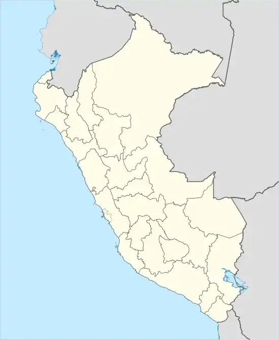
| Coordinates: 14°4′9″S 70°25′52″W | |
| Country | |
| Region | Puno |
| Province | Carabaya |
| District | Macusani |
| Government | |
| • Mayor | Augusto Ronald Gutiérrez Rodrigo (2011-2014) |
| Elevation | 4,315 m (14,157 ft) |
| Population | 11,707 |
| Time zone | UTC-5 (PET) |
Climate
Due to the extreme altitude, Macusani is a tundra climate and has very low temperatures, even during the warmest month of the year. According to Köppen and Geiger, this climate is classified as ET. The temperature here averages 5.0 °C. The rainfall averages 726 mm.
| Climate data for Macusani | |||||||||||||
|---|---|---|---|---|---|---|---|---|---|---|---|---|---|
| Month | Jan | Feb | Mar | Apr | May | Jun | Jul | Aug | Sep | Oct | Nov | Dec | Year |
| Average high °C (°F) | 13.7 (56.7) |
13.1 (55.6) |
13.4 (56.1) |
13.7 (56.7) |
13.6 (56.5) |
13.4 (56.1) |
13.3 (55.9) |
14.4 (57.9) |
14.7 (58.5) |
15.8 (60.4) |
15.5 (59.9) |
13.8 (56.8) |
14.0 (57.3) |
| Daily mean °C (°F) | 6.8 (44.2) |
6.7 (44.1) |
6.7 (44.1) |
5.7 (42.3) |
3.9 (39.0) |
1.5 (34.7) |
1.5 (34.7) |
2.8 (37.0) |
5.2 (41.4) |
6.3 (43.3) |
6.4 (43.5) |
6.4 (43.5) |
5.0 (41.0) |
| Average low °C (°F) | 0.0 (32.0) |
−0.4 (31.3) |
-0.0 (32.0) |
−2.3 (27.9) |
−5.8 (21.6) |
−10.4 (13.3) |
−10.2 (13.6) |
−8.8 (16.2) |
−4.3 (24.3) |
−3.1 (26.4) |
−2.7 (27.1) |
-0.0 (32.0) |
−4.0 (24.8) |
| Average precipitation mm (inches) | 129 (5.1) |
119 (4.7) |
119 (4.7) |
45 (1.8) |
18 (0.7) |
5 (0.2) |
7 (0.3) |
14 (0.6) |
38 (1.5) |
54 (2.1) |
70 (2.8) |
108 (4.3) |
726 (28.8) |
| Source: Climate-data.org[1] | |||||||||||||
References
- "Climate: Macusani". Retrieved 2 November 2014.
This article is issued from Wikipedia. The text is licensed under Creative Commons - Attribution - Sharealike. Additional terms may apply for the media files.
