Maffra West Upper, Victoria
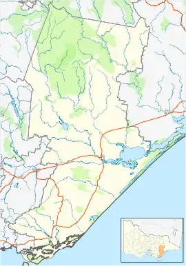
Maffra West Upper is an area of Victoria, Australia, located on Upper Maffra Road, north west of Maffra, in the Shire of Wellington.
| Maffra West Upper Victoria | |||||||||
|---|---|---|---|---|---|---|---|---|---|
 Maffra West Upper | |||||||||
| Coordinates | 37.9°S 146.85°E | ||||||||
| Population | 82 (2016 census)[1] | ||||||||
| Postcode(s) | 3860 | ||||||||
| Elevation | 27 m (89 ft) | ||||||||
| Location | |||||||||
| LGA(s) | Shire of Wellington | ||||||||
| State electorate(s) | Gippsland East | ||||||||
| Federal Division(s) | Gippsland | ||||||||
| |||||||||
Upper Maffra West Post Office opened on 25 July 1887, was renamed Maffra West Upper in 1889 and closed in 1966.[2]
References
- Australian Bureau of Statistics (27 June 2017). "Maffra (Urban Centre)". 2016 Census QuickStats. Retrieved 14 October 2018.

- Premier Postal History, Post Office List, retrieved 11 April 2008
This article is issued from Wikipedia. The text is licensed under Creative Commons - Attribution - Sharealike. Additional terms may apply for the media files.