Magoé District
Magoé District is a district of Tete Province in western Mozambique. Its administrative center is the town of Mpheende. The district is located in the north of the province, and borders with Zumbo District in the north, Marávia District in the northeast, Cahora-Bassa District in the east, and with Zimbabwe in the south and in the west. The area of the district is 8,792 square kilometres (3,395 sq mi).[1] It has a population of 70,614 as of 2007.[2]
Magoé | |
|---|---|
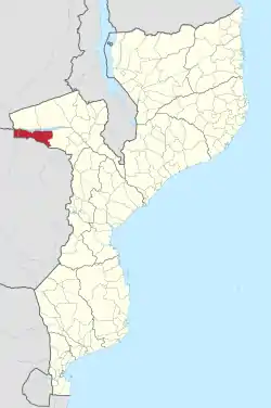 Magoé District on the map of Mozambique | |
| Country | Mozambique |
| Province | Tete |
| Capital | Mpheende |
| Area | |
| • Total | 8,792 km2 (3,395 sq mi) |
| Population (2007 census) | |
| • Total | 70,614 |
| • Density | 8.0/km2 (21/sq mi) |
Geography
The Zambezi crosses the district from west to east. Upstream of Songo, it is built up as the Lago Cahora Bassa, a water reservoir.[1]
According to the Köppen climate classification, the climate of the district is that of hot steppe (BSh). There is no meteorological stations in the district; the closest station, in Chicôa, registers the average annual rainfall of 635 millimetres (25.0 in).[1]
Demographics
As of 2005, 49% of the population of the district was younger than 15 years. 23% of the population spoke Portuguese. The most common mothertongue among the population was Cinyungwe. 72% were analphabetic, mostly women.[1]
Administrative divisions
The district is divided into three postos, Mpheende, Chinhopo, and Mukumbura, which in total comprise six localities.[1]
Economy
Less than 1% of the households in the district have access to electricity.[1]
Agriculture
In the district, there are 9,000 farms which have on average 1.0 hectare (0.0039 sq mi) of land. The main agricultural products are corn, cowpea, peanut, and sweet potato.[1]
Transportation
There is a road network in the district which is 211 kilometres (131 mi) long. All roads are in a very bad state.[1]
References
- "Perfil do Distrito de Magoé" (PDF) (in Portuguese). Ministry of State Administration. 2005. Archived from the original (PDF) on 30 September 2011. Retrieved 26 November 2016.
- "População da Provincia de Tete". Censo 2007 (in Portuguese). Instituto Nacional de Estatística. Archived from the original on 19 December 2007. Retrieved 20 March 2008.