Mahadipur
Mahadipur is a village in English Bazar CD block in Malda Sadar subdivision of Malda district in the state of West Bengal, India and is a border checkpoint, on the Indian side of the Bangladesh-India border, with Sonamosjid in Chapai Nawabganj District on the Bangladesh side.
Mahadipur | |
|---|---|
Border checkpoint | |
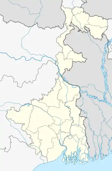
 Mahadipur Location in West Bengal, India  Mahadipur Mahadipur (India) | |
| Coordinates: 24.8566°N 88.1248°E | |
| Country | |
| State | West Bengal |
| District | Malda |
| Population (2011) | |
| • Total | 8,638 |
| Languages | |
| • Official | Bengali, English |
| Time zone | UTC+5:30 (IST) |
| PIN | 732216 |
| STD/ Telephone code | 03512 |
| Lok Sabha constituency | Maldaha Dakshin |
| Vidhan Sabha constituency | English Bazar |
| Website | malda |
Geography
Location
Mahadipur is located at 24.8566°N 88.1248°E, near the historical ruins of Gauḍa.
165.5 km of the India-Bangaldesh border is in Malda district.[1] As of 2017, about half of the 4,096 km of the broder India shares with Bangladesh has been fenced.[2]
Border checkpoint and land port
Mahadipur is a land port and border checkpoint,[3] on the Bangladesh-India border, being developed (in 2018) as an integrated checkpost (ICP) for the smooth movement of goods and people. The land port and checkpoint at Sonamosjid in Shibganj Upazila of Chapai Nawabganj District is on the Bangladesh side of the border.[4][5][6][7][8]
There is a customs office for export/import at Mahadipur.[9]
Mahadipur land port, located 370 km from Kolkata, is a distant second to the largest land port at Petrapole, 100 km from Kolkata. Mahadipur handles around 500 trucks per day and around Rs. 1,500 crore worth of exports pass through annually.[10][11]
Intergovernmental Agreement on Dry Ports is a 2013 United Nations treaty designed to promote the cooperation of the development of dry ports in the Asia-Pacific region.[12]
Demographics
As per the 2011 Census of India, Mahadipur had a total population of 8,638, of which 4,435 (51%) were males and 4,203 (49%) were females. Population below 6 years was 1,206. The total number of literates in Mahadipur was 5,364 (72.17% of the population over 6 years).[13]
Healthcare
Milki Rural Hospital at Milki (with 30 beds) is the main medical facility in English Bazar CD Block. There are primary health centres at KG Chandipur (Chandipur PHC) (with 10 beds) and Mahadipur (with 10 beds).[14]
Transport
Mahadipur is on Gour Road that starts from National Highway 12 (old number NH 34) and after the border crossing leads on towards Rajshahi in Bangladesh.[15]
References
- "Foreword" (PDF). District administration. Retrieved 15 November 2018.
- "Half of India-Bangladesh border fenced". The Hindu, 3 March 2017. Retrieved 15 November 2018.
- "Notification No. 63/94-Cus. (N.T.) dtd 21/11/1994 with amendments - Land Customs Stations and Routes for import and export of goods by land or inland water ways". Archived from the original on 2012-01-28. Retrieved 2013-03-06.
- "Next phase: Road map of ICPs". Land Ports Authority of India. Retrieved 15 November 2018.
- "Land ports in brief" (PDF). Bangladesh government. Retrieved 15 November 2018.
- "Union Home Minister reviews Integrated Checkposts and Border Management projects". Current Samachar. Retrieved 15 November 2018.
- "Centre plans 13 new Integrated Check Posts to encourage engagement with neighbours". The Indian Expres, 18 October 2017. Retrieved 15 November 2018.
- "2500 trucks of imports stranded in West Bengal". Daily Star, 3 August 2013. Retrieved 15 November 2018.
- "Notification No.:91/2009-Customs". CustomsIndiaOnline. Retrieved 11 May 2019.
- "GST impact: Indo-Bangladesh trade at Mahadipur land port comes to a halt". Hindustan Times, 2 July 2017. Retrieved 15 November 2018.
- "Little impact on truck movements between India, Bangladesh". The Hindu Business Line, 3 July 2017. Retrieved 15 November 2018.
- "Intergovernmental Agreement on Dry Ports comes into force". United Nations ESCAP. Retrieved 8 December 2018.
- "2011 Census – Primary Census Abstract Data Tables". West Bengal – District-wise. Registrar General and Census Commissioner, India. Retrieved 11 November 2018.
- "Health & Family Welfare Department". Health Statistics. Government of West Bengal. Retrieved 14 November 2018.
- Google maps
External links
| External video | |
|---|---|
 Malda travel guide from Wikivoyage
 Gour-Pandua travel guide from Wikivoyage
