Maiden Newton
Maiden Newton is a village and civil parish in the county of Dorset in south-west England. It lies within the Dorset Council administrative area, about 9 miles (14 km) north-west of the county town Dorchester. It is sited on Upper Greensand at the confluence of the River Frome with its tributary of equivalent size, the Hooke.[2] Both these rivers have cut valleys into the surrounding chalk hills of the Dorset Downs. Maiden Newton railway station, which serves the village, is situated on the Heart of Wessex Line. The A356 main road also passes through the village. In the 2011 census the parish—which does not include the adjacent settlements of Frome Vauchurch and Tollerford— had a population of 1,119.[1]
| Maiden Newton | |
|---|---|
 Maiden Newton parish church of St Mary | |
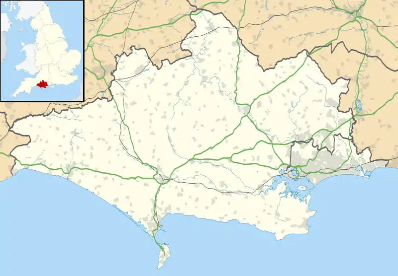 Maiden Newton Location within Dorset | |
| Population | 1,119 [1] |
| OS grid reference | SY597977 |
| Unitary authority | |
| Shire county | |
| Region | |
| Country | England |
| Sovereign state | United Kingdom |
| Post town | Dorchester |
| Postcode district | DT2 |
| Police | Dorset |
| Fire | Dorset and Wiltshire |
| Ambulance | South Western |
| UK Parliament | |
In 1086 in the Domesday Book, Maiden Newton was recorded as Newetone;[3] it had 26 households, 7 ploughlands, 18 acres (7.3 ha) of meadow and 2 mills. It was in Tollerford Hundred and the lord and tenant-in-chief was Waleran the Hunter.[4]
Maiden Newton was the basis for the village of Chalk-Newton, South Wessex, in many of the works of Thomas Hardy. In the vicinity of the village is evidence of Roman occupation and early British settlements.[5] The parish church of St Mary contains much Norman work, with additions from the 14th and 15th centuries.[5] Maiden Newton is also home to one of the country's oldest fire engines, restored and in full working order.
Maiden Newton is in an electoral ward with the same name, which also contains much of the surrounding countryside including the villages of West Compton, Toller Fratrum, Toller Porcorum and Hooke. The population of this ward was 2,081 at the 2011 census.[6]
Transport
The village is served by Maiden Newton railway station on the Heart of Wessex Line.
References
- "Area: Maiden Newton (Parish), Key Figures for 2011 Census: Key Statistics". Neighbourhood Statistics. Office for National Statistics. Retrieved 3 March 2014.
- Ralph Wightman (1983). Portrait of Dorset (4 ed.). Robert Hale Ltd. p. 90. ISBN 0 7090 0844 9.
- "Dorset H-R". The Domesday Book Online. domesdaybook.co.uk. Retrieved 2 March 2015.
- "Place: [Maiden] Newton". Open Domesday. domesdaymap.co.uk. Archived from the original on 2 April 2015. Retrieved 2 March 2015.
- West Dorset District Council, Holiday and Tourist Guide, c.1983, p13
- "Maiden Newton". ukcensusdata.com. Retrieved 26 February 2015.
External links
| Wikimedia Commons has media related to Maiden Newton. |
- Map sources for Maiden Newton
- Maiden Newton Junior Football Club
| Authority control |
|---|