Makoua
Makoua is a town in the Republic of the Congo, lying at the southern edge of the rainforest, north of Owando. It is home to an airport. It lies on the equator.
Makoua | |
|---|---|
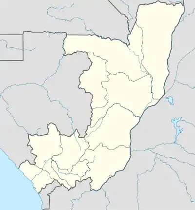 Makoua Location in the Republic of the Congo | |
| Coordinates: 0°00′N 15°38′E | |
| Country | |
| Region | Cuvette Region |
| District | Makoua District |
Climate
Though it is located on the equator, the Benguela current suppresses rainfall when it reaches its northernmost extent from June to August and gives Makoua a tropical savanna climate (Aw).
| Climate data for Makoua | |||||||||||||
|---|---|---|---|---|---|---|---|---|---|---|---|---|---|
| Month | Jan | Feb | Mar | Apr | May | Jun | Jul | Aug | Sep | Oct | Nov | Dec | Year |
| Average high °C (°F) | 30.5 (86.9) |
31.7 (89.1) |
32.1 (89.8) |
31.6 (88.9) |
31.4 (88.5) |
30.1 (86.2) |
29.1 (84.4) |
29.2 (84.6) |
29.7 (85.5) |
30.2 (86.4) |
30.2 (86.4) |
29.8 (85.6) |
30.5 (86.9) |
| Daily mean °C (°F) | 25.4 (77.7) |
26.1 (79.0) |
26.5 (79.7) |
26.2 (79.2) |
26.2 (79.2) |
25.3 (77.5) |
24.4 (75.9) |
24.6 (76.3) |
25.0 (77.0) |
25.2 (77.4) |
25.3 (77.5) |
24.9 (76.8) |
25.4 (77.8) |
| Average low °C (°F) | 20.4 (68.7) |
20.6 (69.1) |
20.9 (69.6) |
20.8 (69.4) |
21.0 (69.8) |
20.5 (68.9) |
19.8 (67.6) |
20.0 (68.0) |
20.3 (68.5) |
20.3 (68.5) |
20.4 (68.7) |
20.0 (68.0) |
20.4 (68.7) |
| Average precipitation mm (inches) | 104 (4.1) |
118 (4.6) |
151 (5.9) |
180 (7.1) |
166 (6.5) |
82 (3.2) |
30 (1.2) |
73 (2.9) |
199 (7.8) |
235 (9.3) |
190 (7.5) |
129 (5.1) |
1,657 (65.2) |
| Source: Climate-Data.org[1] | |||||||||||||
This article is issued from Wikipedia. The text is licensed under Creative Commons - Attribution - Sharealike. Additional terms may apply for the media files.