Makutano, Kirinyaga, Kenya
Makutano is a settlement in Kenya's Kirinyaga County.
Makutano | |
|---|---|
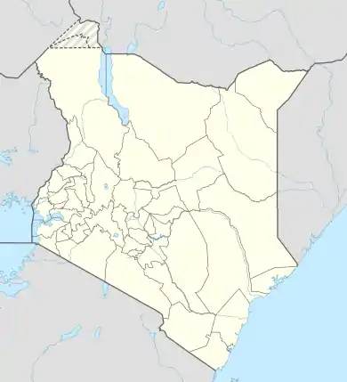 Makutano Location of Makutano | |
| Coordinates: 0.756663°S 37.278887°E | |
| Country | Kenya |
| County | Kirinyaga County |
| Time zone | UTC+3 (EAT) |
Location
The town is located where the Nairobi-Embu Road splits from the Nairobi-Nyeri Road, approximately 88 kilometres (55 mi), northeast of Nairobi, the capital and largest city in the country.[1] The coordinates of Makutano are: 0°45'24.0"S, 37°16'44.0"E (Latitude:-0.756663; Longitude:37.278887).[2]
Overview
At the beginning of 2016, a dual carriage highway through Makutano, referred to as the Kenol–Makutano–Sagana–Marua Highway, part of the greater Cape to Cairo Road, was considered.[3]
The 20 MW (27,000 hp) Tana Hydroelectric Power Station is located 4 kilometres (2 mi) southwest of Makutano.[4]
References
- GFC (6 April 2016). "Distance between Nairobi, Kenya and Makutano, Kirinyaga, Kenya". Globefeed.com (GFC). Retrieved 6 April 2016.
- Google (6 April 2016). "Location of Makutano, Kirinyaga County, Kenya" (Map). Google Maps. Google. Retrieved 6 April 2016.
- Munene, George (19 February 2016). "Kirinyaga leaders protest over proposed dual highway". Daily Nation. Nairobi. Retrieved 6 April 2016.
- GFC (6 April 2016). "Distance between Makutano, Kirinyaga, Kenya and Tana Power Station, Murang'a, Kenya". Globefeed.com (GFC). Retrieved 6 April 2016.
External links
This article is issued from Wikipedia. The text is licensed under Creative Commons - Attribution - Sharealike. Additional terms may apply for the media files.