Mamou
Mamou (N’ko: ߡߊ߯ߡߎ߲߫) is a city and sub-prefecture in a valley of the Fouta Djallon area of Guinea. Population 76,269 (2008 est).[1]
Mamou | |
|---|---|
Sub-prefecture and town | |
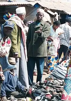 Mamou market | |
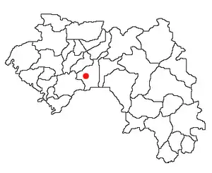
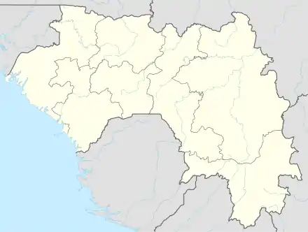 Mamou Location in Guinea | |
| Coordinates: 10°23′N 12°05′W | |
| Country | |
| Region | Mamou Region |
| Prefecture | Mamou Prefecture |
| Population (2008) | |
| • Total | 76,269 |
History
It grew around the railway line from Conakry to Kankan and soon became the local administrative headquarters. Its main industry used to be until the 1990s decade meat processing, while it also acts as an important transport hub. All vehicles going to the Fouta Jallon, the forest region or Haute Guinée have to travel through Mamou.
Climate
Mamou has a tropical savanna climate (Köppen climate classification Aw).
| Climate data for Mamou | |||||||||||||
|---|---|---|---|---|---|---|---|---|---|---|---|---|---|
| Month | Jan | Feb | Mar | Apr | May | Jun | Jul | Aug | Sep | Oct | Nov | Dec | Year |
| Average high °C (°F) | 33.1 (91.6) |
34.9 (94.8) |
35.6 (96.1) |
35.7 (96.3) |
33.4 (92.1) |
30.7 (87.3) |
28.6 (83.5) |
28.3 (82.9) |
29.4 (84.9) |
30.2 (86.4) |
31.3 (88.3) |
32.1 (89.8) |
31.9 (89.4) |
| Daily mean °C (°F) | 23.0 (73.4) |
24.8 (76.6) |
26.1 (79.0) |
26.3 (79.3) |
25.0 (77.0) |
23.4 (74.1) |
22.5 (72.5) |
22.4 (72.3) |
22.7 (72.9) |
23.3 (73.9) |
23.3 (73.9) |
22.5 (72.5) |
23.8 (74.8) |
| Average low °C (°F) | 11.5 (52.7) |
13.6 (56.5) |
15.1 (59.2) |
17.1 (62.8) |
16.1 (61.0) |
16.4 (61.5) |
16.7 (62.1) |
16.8 (62.2) |
16.5 (61.7) |
16.0 (60.8) |
13.0 (55.4) |
11.6 (52.9) |
15.0 (59.0) |
| Average precipitation mm (inches) | 2 (0.1) |
5 (0.2) |
22 (0.9) |
75 (3.0) |
159 (6.3) |
210 (8.3) |
340 (13.4) |
419 (16.5) |
342 (13.5) |
203 (8.0) |
48 (1.9) |
5 (0.2) |
1,830 (72.0) |
| Average precipitation days (≥ 1.0 mm) | 0 | 1 | 2 | 6 | 12 | 16 | 22 | 25 | 22 | 16 | 4 | 0 | 126 |
| Average relative humidity (%) | 36 | 38 | 43 | 55 | 71 | 79 | 83 | 83 | 81 | 78 | 65 | 46 | 63 |
| Source: NOAA[2] | |||||||||||||
See also
Namesake
There is another town in Guinea with the same name.
References
- World Gazetteer Archived 2008-06-17 at the Wayback Machine, Retrieved on June 16, 2008
- "Mamou Climate Normals 1961–1990". National Oceanic and Atmospheric Administration. Retrieved July 6, 2015.
This article is issued from Wikipedia. The text is licensed under Creative Commons - Attribution - Sharealike. Additional terms may apply for the media files.
