Mannsville, Kentucky
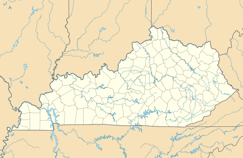
Mannsville is an unincorporated community in Taylor County, Kentucky, United States. First called "Manns Lick" for a salt lick discovered on the site by its pioneer settler, American Revolutionary War veteran Moses Mann (c1757-1849), the site is at the junction of Kentucky Routes 70 and 337, some 7 miles east of the county seat of Campbellsville.[1][2] Its elevation is 738 feet (225 m).[3] Although it is unincorporated, it has a post office, with the ZIP code of 42758.[4]
Mannsville | |
|---|---|
 Mannsville Location within the state of Kentucky  Mannsville Mannsville (the United States) | |
| Coordinates: 37°22′21″N 85°11′48″W | |
| Country | United States |
| State | Kentucky |
| County | Taylor |
| Elevation | 738 ft (225 m) |
| Time zone | UTC-5 (Eastern (EST)) |
| • Summer (DST) | UTC-4 (EDT) |
| ZIP codes | 42758 |
| GNIS feature ID | 497499 |
References
- Rennick, Robert M. Kentucky Place Names. University Press of Kentucky. p. 187. ISBN 0813126312.
- Rand McNally. The Road Atlas '06. Chicago: Rand McNally, 2006, p. 42.
- U.S. Geological Survey Geographic Names Information System: Mannsville, Kentucky, Geographic Names Information System, 1979-09-20. Accessed 2007-12-31.
- "Free ZIP Code Lookup with area code, county, geocode, MSA/PMSA, population". www.zipinfo.com. Retrieved 2016-05-14.
Municipalities and communities of Taylor County, Kentucky, United States | ||
|---|---|---|
| City | 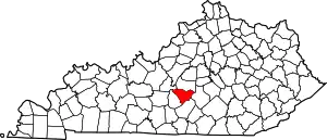 Location of Taylor County, Kentucky | |
| Unincorporated communities | ||
| ||
This article is issued from Wikipedia. The text is licensed under Creative Commons - Attribution - Sharealike. Additional terms may apply for the media files.