Matai'an Wetland Ecological Park
The Matai'an Wetland Ecological Park (Chinese: 馬太鞍濕地公園; pinyin: Mǎtàiān Shīdì Gōngyuán) is a wetland in Guangfu Township, Hualien County, Taiwan.
| Matai'an Wetland Ecological Park | |
|---|---|
| 馬太鞍濕地公園 | |
.jpg.webp) | |
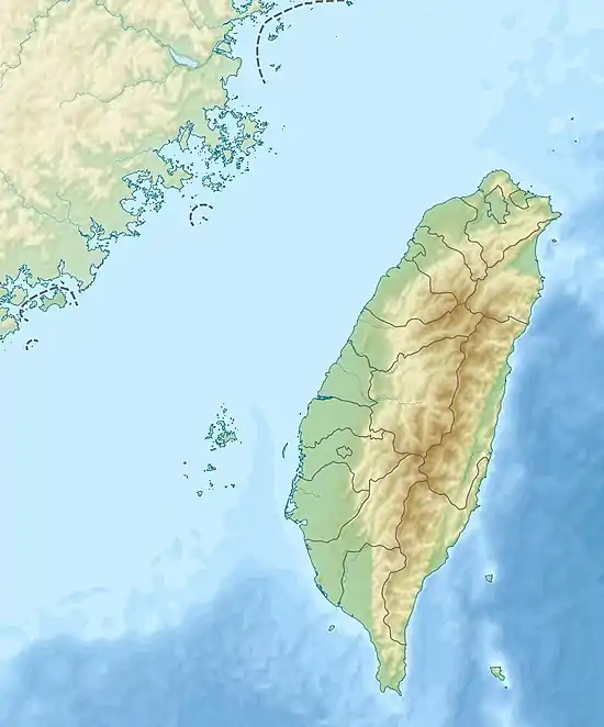 Matai'an Wetland Ecological Park Taiwan | |
| Location | Guangfu, Hualien County, Taiwan |
| Coordinates | 23°39′29.6″N 121°24′31.8″E |
| Area | 12 hectares (30 acres) |
| Geology | Wetland |
Name
Matai'an, which means tree bean, comes from the Matai'an tribe of the indigenous Ami people who inhabit the area around the wetland.[1]
History
The area around the wetland has been used by the local tribe for farming and fishing.[2] In 1991, the Hualien County Farmers' Association set up an area inside the park to promote flower produce of the county.[3]
Geology
The wetland is located at the foot of Mount Masi and spans over an area of 12 hectares, making it the largest wetland in the county.[3] The wetland is formed by the flow of Fudeng River.[2]
Ecology
The wetland consists of around 100 types of water plants.
Facilities
The wetland is equipped with bicycle trail.[4]
Transportation
The wetland is accessible within walking distance southwest of Guangfu Station of Taiwan Railways.
See also
References
- "Matai'an Wetland Ecological Park". Hualien Tourist Service Network. Retrieved 14 April 2017.
- "Hualien Matai-an Wetlands". Guide to Taipei. Retrieved 14 April 2017.
- "Matai'an Wetland Ecological Park". East Rift Valley National Scenic Area. Retrieved 14 April 2017.
- "Guangfu Township -- Sugar canefields and ancient tribes harmony". Taiwan Tour. Retrieved 14 April 2017.
| Wikimedia Commons has media related to Matai'an Wetland Ecological Park. |