Mehedinți Plateau Geopark
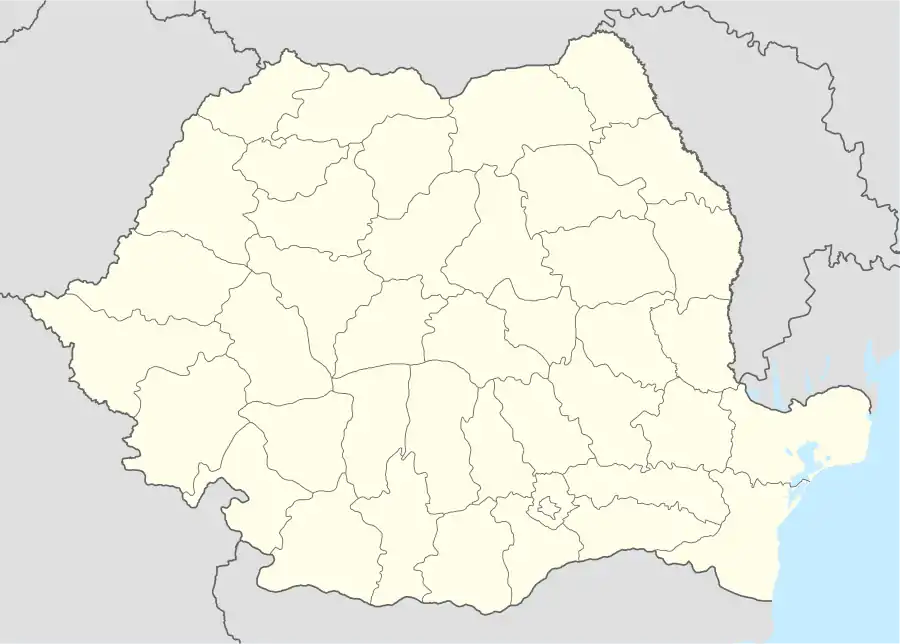
The Mehedinți Plateau Geopark (Romanian: Geoparcul Platoul Mehedinți) is a protected area (natural park category V IUCN) situated in Romania, on the administrative territory of counties Gorj (5%) and Mehedinți (95%).[2]
| Mehedinți Plateau Geopark | |
|---|---|
| Geoparcul Platoul Mehedinți | |
IUCN category V (protected landscape/seascape) | |
 Mehedinți Plateau | |
 Location within Romania | |
| Location | |
| Nearest city | Drobeta Turnu-Severin |
| Coordinates | 44°52′14″N 22°41′21″E[1] |
| Area | 106.500 hectares (263.17 acres) |
| Established | 2005 |
Description
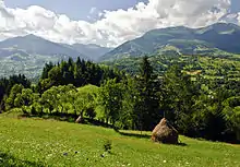
The Mehedinți Plateau Geopark with an area of 106,500 ha[3] was declared natural protected area by the Government Decision Number 2152 on November 30, 2004 (publisied in Romanian Official Paper Number 38 on January 12, 2005)[4] and represents a hill area (ravine, gentler valleys, limestone pavements, caves, pit caves, forests, pasture), what shelters a large variety of flora and fauna, some of the species very rarely or endemics.
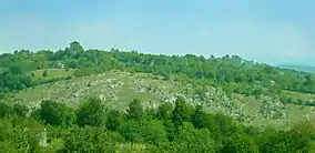
Protected areas included in park: Complexul carstic de la Ponoarele, Pădurea cu liliac Ponoarele, Cheile Coșutei, Cornetul Babelor și Cerboanei, Cornetul Bălții, Cornetul și Topolniței Cave, Cornetul Bălții, Izvorul și stâncăriile de la Câmana, Pereții calcaroși de la Izvoarele Cășutei and Epuran Cave.
See also
References
- eunis.eea.europa.eu - Geoparcul Platoul Mehedinti (coords); retrieved on June 12, 2013
- "Geoparcul Platoul Mehedinți Parcul Natural (location)" (in Romanian). Protectedplanet.net. Retrieved June 12, 2013.
- apmmh.anpm.ro (in Romanian)
- "Hotărârea de Guvern Nr.2152 din 30 noiembrie 2004, publicată în Monitorul Oficial al României, Nr.38 din 12 ianuarie 2005" (PDF) (in Romanian). Muntiimaramuresului.ro. Archived from the original (PDf) on September 27, 2013. Retrieved June 12, 2013.