Mine Kill
Mine Kill flows into the Schoharie Creek by Gilboa, New York.
| Mine Kill | |
|---|---|
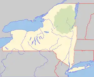 Location of mouth within New York  Mine Kill (the United States) | |
| Location | |
| Country | United States |
| State | New York |
| Physical characteristics | |
| Source | |
| • location | Schoharie County, New York |
| Mouth | Schoharie Creek |
• location | Gilboa, Schoharie County, New York, United States |
• coordinates | 42°25′54″N 74°27′45″W |
| Basin size | 17.7 sq mi (46 km2)[1] |
Hydrology
The United States Geological Survey (USGS) maintains one stream gauge along Mine Kill. The station is located .6 miles (0.97 km) upstream from the mouth, three miles (4.8 km) southwest of North Blenheim, had a maximum discharge of 2,550 cubic feet (72 m3) per second on January 19, 1996, and a minimum discharge of 0.1 cubic feet (0.0028 m3) per second on August 27–30, 1980.[2]
References
- "Mine kill at Mouth". usgs.gov. United States Geological Survey. Retrieved 17 May 2017.
- "USGS 01350140 MINE KILL NEAR NORTH BLENHEIM NY". United States Geological Survey. Retrieved 4 May 2020.
This article is issued from Wikipedia. The text is licensed under Creative Commons - Attribution - Sharealike. Additional terms may apply for the media files.
