Mineral, Washington
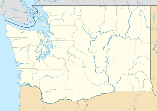
Mineral is a small unincorporated community in Lewis County, Washington[3] just off State Route 7 near the Pierce/Lewis county line. Mineral originally began as a mining town. Prospectors searching the area for gold instead found coal and arsenic. Though the mines failed early in Mineral's history the town found new life as the site of a logging camp and sawmill, both of which are no longer in operation. Today, Mineral's main industry is tourism, primarily through recreational fishing. Mineral has a post office, two churches, one general store, one tavern, a log lodge (in the National Register of Historic Places) a resort with fishing docks and boat/pontoon rentals and two bed and breakfast facilities.
Mineral, Washington | |
|---|---|
 Mineral, Washington | |
| Coordinates: 46°43′01″N 122°10′51″W | |
| Country | United States |
| State | Washington |
| County | Lewis |
| Area | |
| • Total | 0.7 sq mi (2 km2) |
| Elevation | 1,470 ft (448 m) |
| Population | |
| • Total | 202 |
| • Density | 303.4/sq mi (117.1/km2) |
| Time zone | UTC-8 (Pacific (PST)) |
| • Summer (DST) | UTC-7 (PDT) |
| ZIP code | 98355 |
| Area code(s) | 360 |
| GNIS feature ID | 1523205[2] |
| Website | http://www.minerallake.com/ |
Natural features
Mineral affords views of Mount Rainier. The community takes its name from nearby Mineral Lake.[4]
Mineral is most noted as a fishing destination. The lake is stocked yearly with rainbow trout and other fish species. On the opening weekend of Washington's fishing season, the town more than triples in population due to the influx of anglers. As many as 200 boats easily fit on the lake. The local catch-phrase is "Mineral Lake, home of the 10 pound trout."
Mineral is the location where one of the tallest specimens of Douglas fir was recorded, measuring at approximately 120 meters (393 ft) high.
Mineral is also located near the location of the famous Kenneth Arnold UFO sighting in 1947.
Climate
This region experiences warm (but not hot) and dry summers, with no average monthly temperatures above 71.6 °F. According to the Köppen Climate Classification system, Mineral has a warm-summer Mediterranean climate, abbreviated "Csb" on climate maps.[5]
References
Line notes
- "Census 2010: Washington › Mineral CDP". The Spokesman-Review. Retrieved 25 August 2015.
- "Mount Rainier". Geographic Names Information System. United States Geological Survey. Retrieved 2008-10-15.
- "Mineral". Geographic Names Information System. United States Geological Survey.
- Meany, Edmond S. (1923). Origin of Washington geographic names. Seattle: University of Washington Press. p. 167.
- Climate Summary for Mineral, Washington
External links
Municipalities and communities of Lewis County, Washington, United States | ||
|---|---|---|
| Cities | 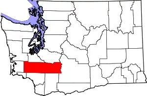 Map of Washington highlighting Lewis County | |
| Town | ||
| CDPs | ||
| Other unincorporated communities | ||
| Ghost towns | ||
| Indian reservation | ||
| Footnotes | ‡This populated place also has portions in an adjacent county or counties | |
| ||