Mon, India
Mon (Pron:/mɒn/) is a town and a town area committee in Mon district in the Indian state of Nagaland.
Mon | |
|---|---|
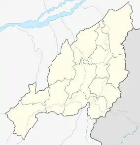 Mon Location in Nagaland, India | |
| Coordinates: 26.75°N 95.1°E | |
| Country | |
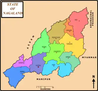
| State | Nagaland |
| District | Mon |
| Elevation | 655 m (2,149 ft) |
| Population (2001) | |
| • Total | 16,119 |
| Languages | |
| • Official | English |
| Time zone | UTC+5:30 (IST) |
| Vehicle registration | NL |
| Website | nagaland |
Geography
Mon is located at 26.75°N 95.1°E.[1] It has an average elevation of 655 metres (2,148 feet).
It is situated at an altitude of 2,945 ft (898 m) above sea level. It is at a distance of 357 km from Kohima via Dimapur and 280 km from Dimapur, 275 km from Kohima via Mokokchung, Tamlu and Wakching. Home of the Konyaks, the town was established at the land of Chi and Mon villages. It is centrally located for the coronation of Anghs (chiefs).
Demographics
As of 2011 India census,[2] Mon had a population of 16,590 with 9,138 males and 7,452 females. Mon has an average literacy rate of 71%, slightly lower than the national average of 76%: male literacy is 75%, and female literacy is 66%. In Mon, 17% of the population is under 6 years of age.
The Konyaks and the Aos are the two tribes that constitute almost the entire urban population of present-day Mon town.
References
- Falling Rain Genomics, Inc - Mon
- "Census of India 2001: Data from the 2001 Census, including cities, villages and towns (Provisional)". Census Commission of India. Archived from the original on 16 June 2004. Retrieved 1 November 2008.