Mont Néry
Mont Néry (3,075m) is a mountain of the Pennine Alps in Aosta Valley, northwestern Italy.
| Mont Néry | |
|---|---|
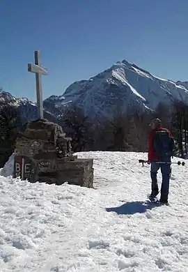 Mont Néry from the Testa di Comagna | |
| Highest point | |
| Elevation | 3,075 m (10,089 ft) [1] |
| Prominence | 906 m (2,972 ft) [1] |
| Listing | Alpine mountains above 3000 m |
| Coordinates | 45°43′00″N 7°49′09″E |
| Geography | |
 Mont Néry Location in the Alps | |
| Location | Aosta Valley, Italy |
| Parent range | Pennine Alps |
| Climbing | |
| First ascent | 1873 |
Features
The mountain si located between the Ayas Valley and the Lys Valley. It is the highest summit of the Frudiera Range, part of the larger Monte Rosa Massif. The mountain is formed from a mixture of gneiss and schist rocks. It was first climbed in 1873.[2]
References
- "Mont Néry". Peakbagger.com. Retrieved 11 February 2015.
- "Mont Néry hillclimb". lovevda.org. Retrieved 24 March 2019.
This article is issued from Wikipedia. The text is licensed under Creative Commons - Attribution - Sharealike. Additional terms may apply for the media files.