Montecastrilli
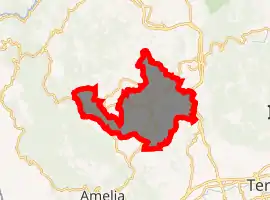
Montecastrilli is a comune (municipality) in the Province of Terni in the Italian region of Umbria, located about 50 km south of Perugia and about 15 km northwest of Terni.
Montecastrilli
Montes
Carsulis | |
|---|---|
| Comune di Montecastrilli | |
.jpg.webp) | |
Location of Montecastrilli 
| |
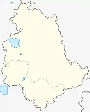
 Montecastrilli Location of Montecastrilli in Italy  Montecastrilli Montecastrilli (Umbria) | |
| Coordinates: 42°39′N 12°29′E | |
| Country | Italy |
| Region | Umbria |
| Province | Terni (TR) |
| Frazioni | Casteltodino, Farnetta, Collesecco, Castel dell'Aquila |
| Government | |
| • Mayor | Fabio Angelucci |
| Area | |
| • Total | 62.43 km2 (24.10 sq mi) |
| Elevation | 391 m (1,283 ft) |
| Population (30 November 2017)[2] | |
| • Total | 5,026 |
| • Density | 81/km2 (210/sq mi) |
| Demonym(s) | Montecastrillesi |
| Time zone | UTC+1 (CET) |
| • Summer (DST) | UTC+2 (CEST) |
| Postal code | 05026 |
| Dialing code | 0744 |
| Patron saint | St. Nicholas of Myra |
| Saint day | December 6 |
| Website | Official website |
Main sights
Among the churches in the town are:
- San Nicolò - 10th or 11th-century church
- Santa Maria di Ciciliano- 11th-century church
- San Lorenzo in Nifili - 11th-century
- Santa Maria Assunta - 11th to 12th-century parish church of Quadrelli
- San Bartolomeo - 12th-century parish church of Casteltodino
- Monastery of Santa Chiara (1649)
- Santa Rosario - 17th-century baroque church in Quadrelli
References
- "Superficie di Comuni Province e Regioni italiane al 9 ottobre 2011". Istat. Retrieved 16 March 2019.
- All demographics and other statistics: Italian statistical institute Istat.
This article is issued from Wikipedia. The text is licensed under Creative Commons - Attribution - Sharealike. Additional terms may apply for the media files.