Moruka River
The Moruka River or Moruca River is a river in the Barima-Waini region of northern Guyana.[1][2]
| Moruka River | |
|---|---|
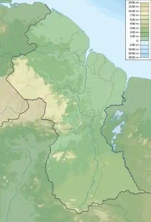 Location of the mouth in Guyana | |
| Location | |
| Country | Guyana |
| Physical characteristics | |
| Mouth | |
• coordinates | 7.669°N 58.782°W |
The mouth of the river opens to the Atlantic Ocean.[3] Mangrove forests make up the shoreline, turning into swampy savannah wetlands as it moves west. The Moruka River's water level varies dramatically depending on the season.[4]
Settlement
Around 5300 years ago, Warao people on the Moruka River developed the dugout canoe, making possible people travel in the Caribbean.
During their occupation period the Dutch maintained outposts on the Moruka River.
Settlements along the river include Santa Rosa, Kamwatta and Asakata.
References
- Moruka River (Guyana (general)) 7 day forecast
- "Moruka River, Guyana - Geographical Names, map, geographic coordinates". geographic.org. Retrieved 2021-01-19.
- "Welcome to Moruca, gem of Region One". Guyana Chronicle. Retrieved 2021-01-19.
- "A MAGICAL JOURNEY THROUGH GUYANA". Kaieteur News. 2019-08-26. Retrieved 2021-01-19.
This article is issued from Wikipedia. The text is licensed under Creative Commons - Attribution - Sharealike. Additional terms may apply for the media files.
