Mount Chamah
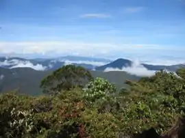
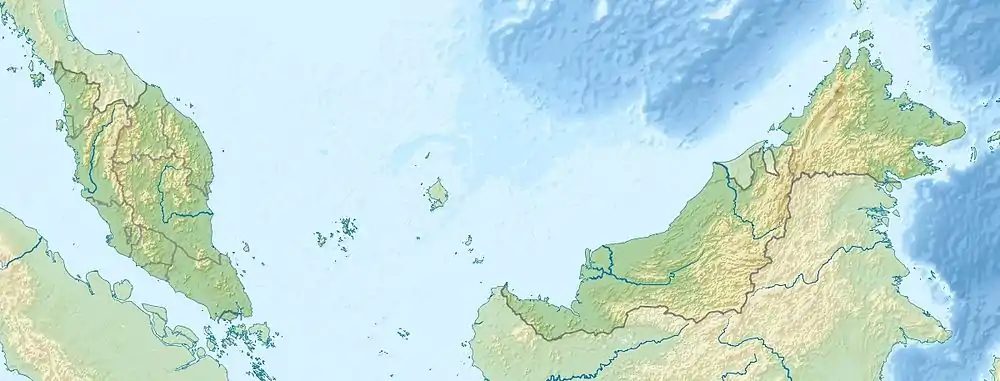
Gunung Chamah lies in the north-western corner of Kelantan and is the fifth highest mountain in Peninsular Malaysia. It is one of the Peninsula's G7 (mountains above 7,000 ft/2,134m). Gunung in Malay literally means mountains with an elevation of 1,000 m and above. In Peninsular Malaysia, there are several of these mountains located along the main mountain ranges called the Titiwangsa Range. On one of these popular mountain peaks is the Gunung Chamah with an elevation of 2,171m.
| Mount Chamah | |
|---|---|
| Gunung Chamah | |
 Sunrise on the summit | |
| Highest point | |
| Elevation | 2,134 m (7,001 ft) |
| Listing | Ribu |
| Coordinates | 5°13′43.34″N 101°34′24.41″E |
| Geography | |
| Parent range | Titiwangsa Mountains |
| Climbing | |
| Easiest route | Rekom Trail |
During the heyday of communist insurgency, this area was totally out of bounds for ordinary citizens. However, after the peace agreement between the Malaysian government and the Communist signed in Hatyai, South Thailand during the 80s, the authorities in Malaysia began to relax their rules on jungle trekking on the Titiwangsa Range.
Today, jungle trekking and mountaineering is one of the most popular outdoor sports/activities in Malaysia. Thanks to the peace agreement made some 20 years ago, more and more Malaysian youths are opting for this activities as it will be more fun and adventuring as more species of flora and fauna are being discovered in the forest. It is most evident during the holiday seasons that most of the mountain tops in the Peninsular are jammed with hikers and trekkers. Preparations, training and bookings for permits and transport have to be done months ahead.
Gunung Chamah is one of the harder mountains, because of getting there (to the start of the trek) as well as the trek itself. However, it is also one of the best treks, as the place is rather untouched and beautiful. Be careful, as tigers still roam around the treks there.
Climbing Gunung Chamah, the fifth highest mountain in Peninsular Malaysia, has always been a challenge.
