Mount Hay (Yakutat)
Mount Hay, also named Boundary Peak 167, is a mountain in Alaska and British Columbia, located on the Canada–United States border, and part of the Fairweather Range of the Saint Elias Mountains.[1] It was named in 1923 for John Milton Hay (1838-1905), author and diplomat. In 1903, John Hay helped negotiate the treaty resulting in Alaska Boundary Tribunal.[2]
| Mount Hay | |
|---|---|
| Boundary Peak 167 | |
| Highest point | |
| Elevation | 8,881 ft (2,707 m) |
| Prominence | 3,838 ft (1,170 m) |
| Coordinates | 59°14′39″N 137°36′31″W |
| Geography | |
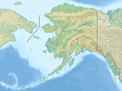
| Location | Stikine Region, British Columbia Glacier Bay National Park and Preserve, Alaska |
See also
- List of Boundary Peaks of the Alaska-British Columbia/Yukon border
References
This article is issued from Wikipedia. The text is licensed under Creative Commons - Attribution - Sharealike. Additional terms may apply for the media files.
