Mount Patah
Mount Patah (Indonesian: Gunung Patah, means: Broken Mountain) is a heavily forested quaternary age volcano southeast of Mount Dempo on Sumatra island, Indonesia. On 1 May 1989, a fumarole activity was observed by a pilot near the summit. The exact location of the crater, the date of its formation and its geologic relationship is uncertain.[1]
| Mount Patah | |
|---|---|
| Highest point | |
| Elevation | 2,852 m (9,357 ft) [1] |
| Listing | Ultra Ribu |
| Coordinates | 4.27°S 103.30°E |
| Geography | |
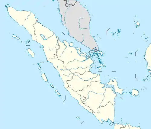
| Location | Bengkulu, Sumatra, Indonesia |
| Geology | |
| Age of rock | Quaternary |
| Mountain type | Unknown |
| Last eruption | Unknown |
Mount Patah is in a protected forest area RajaMandara,[2] with a total area of 42.567 hectares. The peak of the mountain is located on the border of the province of Bengkulu and South Sumatra with a height of 2,852 meters above sea level, in the western part there is a crater sulfur which is located into the region of Bengkulu province at an altitude of 2,600 meters above sea level, in the southern part of the crater there is a volcanic lake with an altitude of 2,550 meters above sea level.
See also
References
- "Patah". Global Volcanism Program. Smithsonian Institution. Retrieved 2006-12-28.
- RMOL. "Misteri Rajamendare : Danau Tumutan Tujuh, Surga Kecil Jatuh Ke Kaur - rmolbengkulu.com". rmolbengkulu.com. Retrieved 2018-07-12.
- "User-submitted activity reports about Patah volcano (Indonesia) / VolcanoDiscovery". ww2.volcanodiscovery.com. Retrieved 2018-07-12.
