Mungeli
Mungeli is a town and a municipality in Mungeli district in the Indian state of Chhattisgarh. The pin code of Mungeli is 495334. Mungeli is a newly formed district from the separation of bilaspur district.
Mungeli | |
|---|---|
Town | |
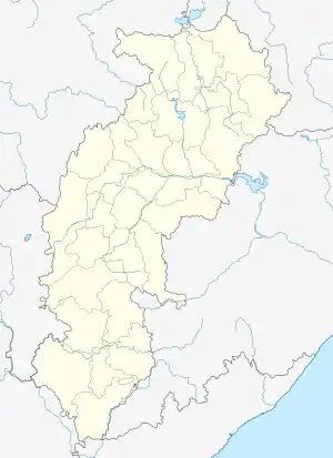 Mungeli Location in Chhattisgarh, India  Mungeli Mungeli (India) | |
| Coordinates: 22.07°N 81.68°E | |
| Country | |
| State | Chhattisgarh |
| District | Mungeli |
| Government | |
| • Mayor | Savitri soni |
| Elevation | 288 m (945 ft) |
| Population (2013 (est)) | |
| • Total | 55,756 |
| Languages | |
| • Official | Hindi, Chhattisgarhi |
| Time zone | UTC+5:30 (IST) |
| PIN | 495334 |
| Telephone code | 917755 |
| Vehicle registration | CG-28 |
| Website | http://cg.nic.in/mungeli , https://sites.google.com/site/districtmungeli |
Geography
Mungeli has an average elevation of 288 metres (944 feet). Mungeli is located near the Bilaspur district around 50 kilometres from the 'Bilaspur' and 100 kilometres away from the Capital City of Chhattisgarh 'Raipur' Mungeli is a small town on the banks of the river Agar.It has plateau in the north and Mahanadi basin in the south.
Demographics
As of 2013 India census,[1] Mungeli had a population of 55,756. (est) Males constitute 52% of the population and females 48%. Mungeli has an average literacy rate of 69%, higher than the national average of 59.5%: male literacy is 78%, and female literacy is 59%. In Mungeli, 13% of the population is under 6 years of age.
References
- "Census of India 2001: Data from the 2001 Census, including cities, villages and towns (Provisional)". Census Commission of India. Archived from the original on 16 June 2004. Retrieved 1 November 2008.
