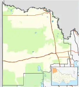
Murray-Sunset, Victoria
Murray-Sunset is a locality in the Australian state of Victoria in the west of the state adjoining the border with South Australia. The principal land use is conservation with most of the locality being occupied by the Murray-Sunset National Park.[3][2]
| Murray-Sunset Victoria | |||||||||||||||
|---|---|---|---|---|---|---|---|---|---|---|---|---|---|---|---|
 Murray-Sunset | |||||||||||||||
| Coordinates | 34°46′35″S 141°29′04″E | ||||||||||||||
| Population | 0 (2016 census)[1] | ||||||||||||||
| Postcode(s) | 3490 | ||||||||||||||
| LGA(s) | Rural City of Mildura | ||||||||||||||
| State electorate(s) | Mildura | ||||||||||||||
| Federal Division(s) | Mallee | ||||||||||||||
| |||||||||||||||
| Footnotes | Adjoining localities[2] | ||||||||||||||
References
- Australian Bureau of Statistics (27 June 2017). "Murray-Sunset (State Suburb)". 2016 Census QuickStats. Retrieved 1 September 2020.

- "Mildura Rural City, Suburb and Rural District Names and Boundaries" (PDF). Locality names and boundary maps. Department of Environment, Land, Water and Planning, State Government of Victoria. Archived from the original (PDF) on 18 October 2015. Retrieved 21 March 2017.
- "Murray-Sunset". Vicnames. Government of Victoria. 2 May 1966. Archived from the original on 19 August 2014. Retrieved 16 August 2014.
This article is issued from Wikipedia. The text is licensed under Creative Commons - Attribution - Sharealike. Additional terms may apply for the media files.