Nekoma, Kansas
Nekoma is an unincorporated community in southwestern Rush County, Kansas, United States. It lies along K-96 southwest of the city of La Crosse, the county seat of Rush County.[1] Its elevation is 2,037 feet (621 m), and it is located at 38°28′25″N 99°26′31″W (38.4736250, -99.4420547).[2] Although it is unincorporated, it has a post office, with the ZIP code of 67559.[3]
Nekoma, Kansas | |
|---|---|
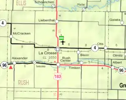 KDOT map of Rush County (legend) | |
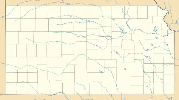 Nekoma, Kansas Location within the state of Kansas  Nekoma, Kansas Nekoma, Kansas (the United States) | |
| Coordinates: 38°28′25″N 99°26′31″W | |
| Country | United States |
| State | Kansas |
| County | Rush |
| Time zone | UTC-6 (CST) |
| • Summer (DST) | UTC-5 (CDT) |
| ZIP codes | 67559 |
History
Nekoma was platted in 1884 by the railroad.[4] The first post office in Nekoma was established in 1890.[5]
References
- Rand McNally. The Road Atlas '08. Chicago: Rand McNally, 2008, p. 40.
- Geographic Names Information System Feature Detail Report, Geographic Names Information System, 1978-10-13. Accessed 2008-04-12.
- Zip Code Lookup
- "History of Rush County". Rush County Economic Development. Archived from the original on March 22, 2012. Retrieved 22 June 2014.
- "Kansas Post Offices, 1828-1961". Kansas Historical Society. Archived from the original on October 9, 2013. Retrieved 22 June 2014.
Further reading
External links
Municipalities and communities of Rush County, Kansas, United States | ||
|---|---|---|
| Cities | 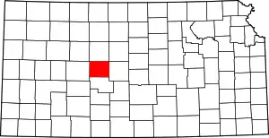 Map of Kansas highlighting Rush County | |
| Unincorporated communities | ||
| Ghost towns | ||
| ||
This article is issued from Wikipedia. The text is licensed under Creative Commons - Attribution - Sharealike. Additional terms may apply for the media files.