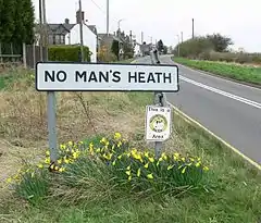
No Man's Heath, Warwickshire
No Man's Heath (grid reference SK290090) is an area of North Warwickshire about 6 miles (9.7 km) northeast of Tamworth, Staffordshire. It is near the boundaries of four English counties: Derbyshire, Leicestershire, Warwickshire and Staffordshire. Nearby in the late 19th century were Netherseal Colliery and Netherseal Hall.
| No Man's Heath | |
|---|---|
 | |
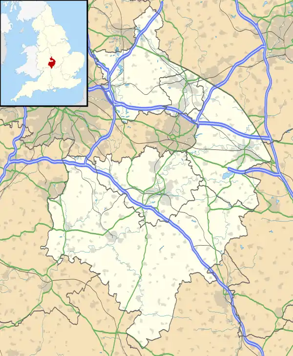 No Man's Heath Location within Warwickshire | |
| OS grid reference | SK288090 |
| Civil parish |
|
| District | |
| Shire county | |
| Region | |
| Country | England |
| Sovereign state | United Kingdom |
| Post town | Tamworth |
| Postcode district | B79 |
| Police | Warwickshire |
| Fire | Warwickshire |
| Ambulance | West Midlands |
Today a small village exists there, also called No Man's Heath, which is the northernmost settlement in Warwickshire. The population of the village is included in Newton Regis. The county boundary which used to divide the village between Leicestershire and Warwickshire has been re-drawn to place the whole village in Warwickshire.[1] The village has an Indian restaurant, called The Four Counties Spice; this used to be the village public house, called The Four Counties Inn.
Leicestershire, Warwickshire, and Staffordshire meet about 0.5 miles (800 m) northwest of the village. Derbyshire, Leicestershire, and Staffordshire meet a further half-mile northwest. There is an ancient (probably Mercian) stone, divided into four parts, which may mark the point where the four counties met before boundary adjustments.
See also
- Four Corners Monument, a four states point in the USA.
- No Man's Heath, Cheshire, which may take its name from spanning four civil parishes.
- Dow Bridge, meeting point of Warwickshire, Northamptonshire and Leicestershire.
- Four Shire Stone, meeting point of Warwickshire, Oxfordshire and Gloucestershire (formerly also Worcestershire)
References
- "Map of No Mans Heath in Warwickshire". streetmap.co.uk.
External links
- BBC Staffordshire article about the Four Counties Inn.
