Nuvuttiq
Nuvuttiq (ᓄᕗᑦᑎᖅ[1]) formerly Cape Searle[2] is an uninhabited headland located on Qaqaluit Island's northeastern tip, in the Qikiqtaaluk Region of Nunavut, Canada.
| Nuvuttiq cape | |
|---|---|
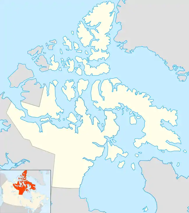 | |
| Location | Qaqaluit Island, Nunavut |
| Coordinates | 67°13′49″N 062°27′37″WNuvuttiq at Natural Resources Canada |
| Offshore water bodies | Davis Strait |
| Elevation | 450 m (1,480 ft) |
| Area | 2 km2 (0.77 sq mi) |
It was named by Arctic explorer John Ross on 17 September 1818 in honor of John Clark Searle, Esq.,[3] then Chairman of the Victualling board.
Geography
The habitat is characterized by coastal cliffs and rocky marine shores. It is 2 km2 (0.77 sq mi) in size, with an elevation rising up to 450 m (1,480 ft) above sea level.
Fauna
Cape Searle is home to the largest northern fulmar colony in Canada.
Conservation
It is a Canadian Important Bird Area (#NU003), an International Biological Program site and a Key Terrestrial Bird Habitat site.[4]
References
- Nuvuttiq
- Nuvuttiq (Formerly Cape Searle)
- Ross, John (1819). A voyage of discovery. 2 (Digitized December 13, 2005 ed.). London: Longman, Hurst, Rees, Orme, and Brown. p. 31. Retrieved May 2, 2009.
- "Cape Searle". bsc-eoc.org. Archived from the original on 2011-06-12. Retrieved 2009-04-23.
This article is issued from Wikipedia. The text is licensed under Creative Commons - Attribution - Sharealike. Additional terms may apply for the media files.