Olpad
Olpad is a town northwest of Surat, India, located at 21.33° north, 72.75° east and about 12 meters above sea level. Olpad is a small town in Surat, having about 15,898 residents.
Olpad (Olpar) | |
|---|---|
Town | |
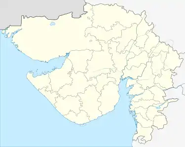 Olpad (Olpar) Location in Gujarat, India  Olpad (Olpar) Olpad (Olpar) (India) | |
| Coordinates: 21°20′N 72°45′E | |
| Country | |
| State | Gujarat |
| District | Surat |
| Government | |
| • Body | Surat Municipal Corporation |
| Elevation | 12 m (39 ft) |
| Languages | |
| • Official | Gujarati, Urdu, Hindi |
| Time zone | UTC+5:30 (IST) |
| PIN | 394540 |
| Telephone code | 91261-XXX-XXXX |
| Lok Sabha constituency | Surat |
| Vidhan Sabha constituency | OLPAD |
| Civic agency | Surat Municipal Corporation |
Olpad is divided by Sena River/Creek into Olpad Kasba/Main and Para/Pura/Suburb.
Olpad has second highest Tiger Shrimp Export area. Lot of oil and gas drilling with 30 kilometers of coastal area. It is Surat's nearest fast developing town, sharing a parliamentary seat with Surat West.
It has 3 colleges, industrial technical institute, courts, police station, banks and government offices.
Olpad is a junction connecting by many roads to and from Surat, Sayan, Kim, Ankleshwar, Dandi, and Bhatgam. It is a cheap alternative for business or industries. Railway station (Sayan) is 9 miles away. A future Metro is also planned from Sachin to Sayan, makes perfect suburb living with much cleaner and cooler air than Surat due to farming and shrimp ponds between town and ocean. All the roads from Olpad to neighbouring city and towns are very good.
Olpad population consists of Hindus, Muslims, people from UP, Maharashtra, Rajasthan among others.