Ombadja
Ombadja (known as Santa Clara until 1975) is municipality in Cunene Province, Angola. Its seat is the village of Xangongo (known in ancient times as Roçadas). It occupies 12,264 square kilometers and has about 304,964 inhabitants as of the 2014 Angolan census.[1] It is bordered to the north by the municipality of Matala, in the east by the municipalities of Cuvelai, Namacunde, Cuanhama, west by the municipalities of Curoca and Cahama. It contains the communes of Xangongo, Ombala-Yo-Mungo, Naulila, Humbe and Mucope.
Ombadja | |
|---|---|
 Bridge over the Cunene River in Xangango | |
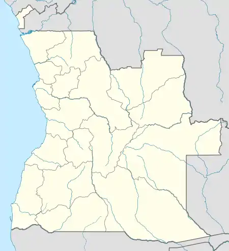 Ombadja Location in Angola | |
| Coordinates: 16°47′28″S 14°56′6″E | |
| Country | |
| Province | Cunene |
| Area | |
| • Total | 12,264 km2 (4,735 sq mi) |
| Population (2014 Census)[1] | |
| • Total | 304,964 |
| • Density | 25/km2 (64/sq mi) |
| Time zone | UTC+1 (WAT) |
References
- "Resultados Definitivos Recenseamento Geral da População e Habitação – 2014 Província do Cunene" (PDF). Instituto Nacional de Estatística, República de Angola. Retrieved 3 May 2020.
This article is issued from Wikipedia. The text is licensed under Creative Commons - Attribution - Sharealike. Additional terms may apply for the media files.