Ottawa Municipal Airport
Ottawa Municipal Airport (FAA LID: OWI) is in Ottawa, Kansas, four miles south of Ottawa at 2178 Montana Road.
Ottawa Municipal Airport | |||||||||||||||
|---|---|---|---|---|---|---|---|---|---|---|---|---|---|---|---|
.jpg.webp) | |||||||||||||||
| Summary | |||||||||||||||
| Airport type | Public | ||||||||||||||
| Owner | City of Ottawa | ||||||||||||||
| Location | Ottawa, Kansas | ||||||||||||||
| Elevation AMSL | 966.4 ft / 294.6 m | ||||||||||||||
| Coordinates | 38°32′20″N 095°15′10″W | ||||||||||||||
| Website | http://www.ottawaks.gov/... | ||||||||||||||
| Map | |||||||||||||||
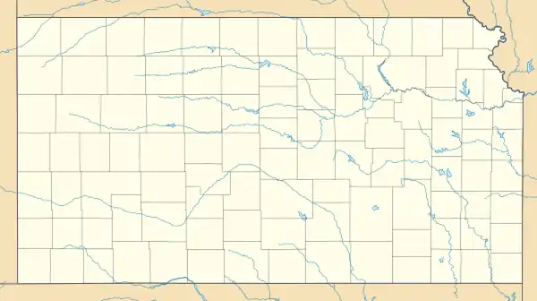 KOWI Location of airport in Kansas | |||||||||||||||
| Runways | |||||||||||||||
| |||||||||||||||
.jpg.webp)
Douglas DC-3 Static Display
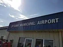
Ottawa (Kansas) Municipal Airport main building
Open in April 1946, the airport serves small business jets.
There are two buildings at the airport and aircraft are stored outside. There is a tiedown hangar, likely replacing the old main hangar that was destroyed on July 8, 2009.
Besides the main runway, there is a grass runway (13/31).
External links
| Wikimedia Commons has media related to Ottawa Municipal Airport. |
- "AirNav: KOWI - Ottawa Municipal Airport". airnav.com. Retrieved 2014-07-29.
- "Ottawa Municipal Airport (OWI) in Ottawa, Kansas - Elevation, Runways, Altitude". city-data.com. Retrieved 2014-07-29.
- "Ottawa Municipal Airport City Web Page". ottawaks.gov. Retrieved 2015-06-03.
- "Microburst Ottawa Kansas July 78 2009 Photos by wcallan48 | Photobucket". s309.photobucket.com. Retrieved 2014-07-29.
This article is issued from Wikipedia. The text is licensed under Creative Commons - Attribution - Sharealike. Additional terms may apply for the media files.