Outwood, Surrey
Outwood is a village in the Surrey weald. It is home to Outwood Mill which was once the oldest working windmill in England. It was damaged in gales in January 2012 and in October 2013. The mill and grounds have been closed to the public ever since, with an application for withdrawal of rights of access applied for. Plans to restore the mill appear to have faltered.
| Outwood | |
|---|---|
| Village | |
 Outwood Windmill | |
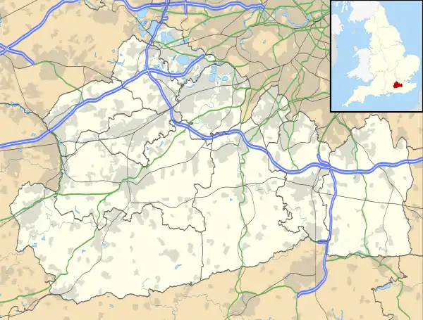 Outwood Location within Surrey | |
| Area | 11.09 km2 (4.28 sq mi) |
| Population | 720 (Civil Parish 2011)[1] |
| • Density | 65/km2 (170/sq mi) |
| OS grid reference | TQ3245 |
| Civil parish |
|
| District | |
| Shire county | |
| Region | |
| Country | England |
| Sovereign state | United Kingdom |
| Post town | REDHILL |
| Postcode district | RH1 |
| Dialling code | 01342 |
| Police | Surrey |
| Fire | Surrey |
| Ambulance | South East Coast |
| UK Parliament | |
History
The earliest known reference to Outwood is in 1542; the Court Roll refers to the restrictions concerning the felling of timber in Outwood mostly in the parish of Burstow.[2] In 1665, the Post Mill was built.
The Baptist Chapel, no longer in use, was built in 1834. In 1869, St John the Baptist Church was built in what was the north of Burstow parish. This was followed in 1870 by the creation of the ecclesiastical parish of St John the Baptist, taking in parts of Bletchingley, Burstow, Horley, Horne, and Nutfield.
The school was opened in 1876; it is now converted into apartments. In 1887, Outwood Cricket Club was formed, and is still active.
The Victoria County History records Abbot's Hospital, Guildford, owned land in Outwood in 1911.[2]
In 1929, the village hall was built, called the Lloyd Hall. The following year, Outwood Drama Society was formed, but is now defunct.
Outwood Parish Council was created in 2000. A multi-use games area was established in 2010 when Wells Court was built and opened. In 2014, Lloyd Hall closed for a new hall to be built on the same site.
Demography and housing
In 1891 the census recorded 586 residents in Outwood in 140 houses; the populated fluctuated and homes increased over a century. The 2001 census recorded 569 people in 224 homes.[1]
| Output area | Detached | Semi-detached | Terraced | Flats and apartments | Caravans/temporary/mobile homes | shared between households[1] |
|---|---|---|---|---|---|---|
| (Civil Parish) | 155 | 75 | 3 | 7 | 18 | 3 |
The average level of accommodation in the region composed of detached houses was 28%, and the average made up of apartments was 22.6%.
| Output area | Population | Households | % Owned outright | % Owned with a loan | hectares[1] |
|---|---|---|---|---|---|
| (Civil Parish) | 720 | 261 | 40.2% | 42.5% | 1,109 |
The proportion of households in the civil parish who owned their home outright compares to the regional average of 35.1%; the proportion who owned their home with a loan compares to the regional average of 32.5%. The remaining % is made up of rented dwellings (plus a negligible % of households living rent-free).
Walking in Outwood
There are several miles of public, National Trust footpaths and bridleways as well as Outwood Common. The paths cross open common, woodland and fields, which change through the seasons: much of the countryside in and around Outwood is part of the Harewoods estate, which is owned and managed by the National Trust.
There are two main National Trust parking areas. One is opposite the windmill and the other is on the track leading to the cricket pitch on Outwood Common. The National Trust holds guided walks at certain times of the year.[3]
See also
References
- Key Statistics; Quick Statistics: Population Density United Kingdom Census 2011 Office for National Statistics Retrieved 21 November 2013
- H.E. Malden (editor) (1911). "Parishes: Burstow". A History of the County of Surrey: Volume 3. Institute of Historical Research. Retrieved 1 December 2013.CS1 maint: extra text: authors list (link)
- The National Trust Harewood. Retrieved 2013-12-31