Oyster Creek (Texas)
For the community in Brazoria County, Texas see: Oyster Creek, Texas.
| Oyster Creek (Texas) | |
|---|---|
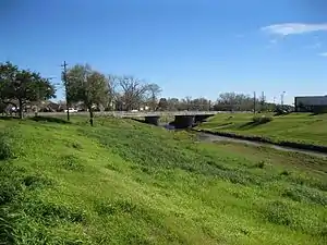 FM 1092 bridge over Oyster Creek in Missouri City | |
| Location | |
| Country | United States |
| Physical characteristics | |
| Source | |
| • location | Fort Bend County, Texas |
| Mouth | |
• location | Brazoria County, Texas |
| Length | 52 mi (84 km) |
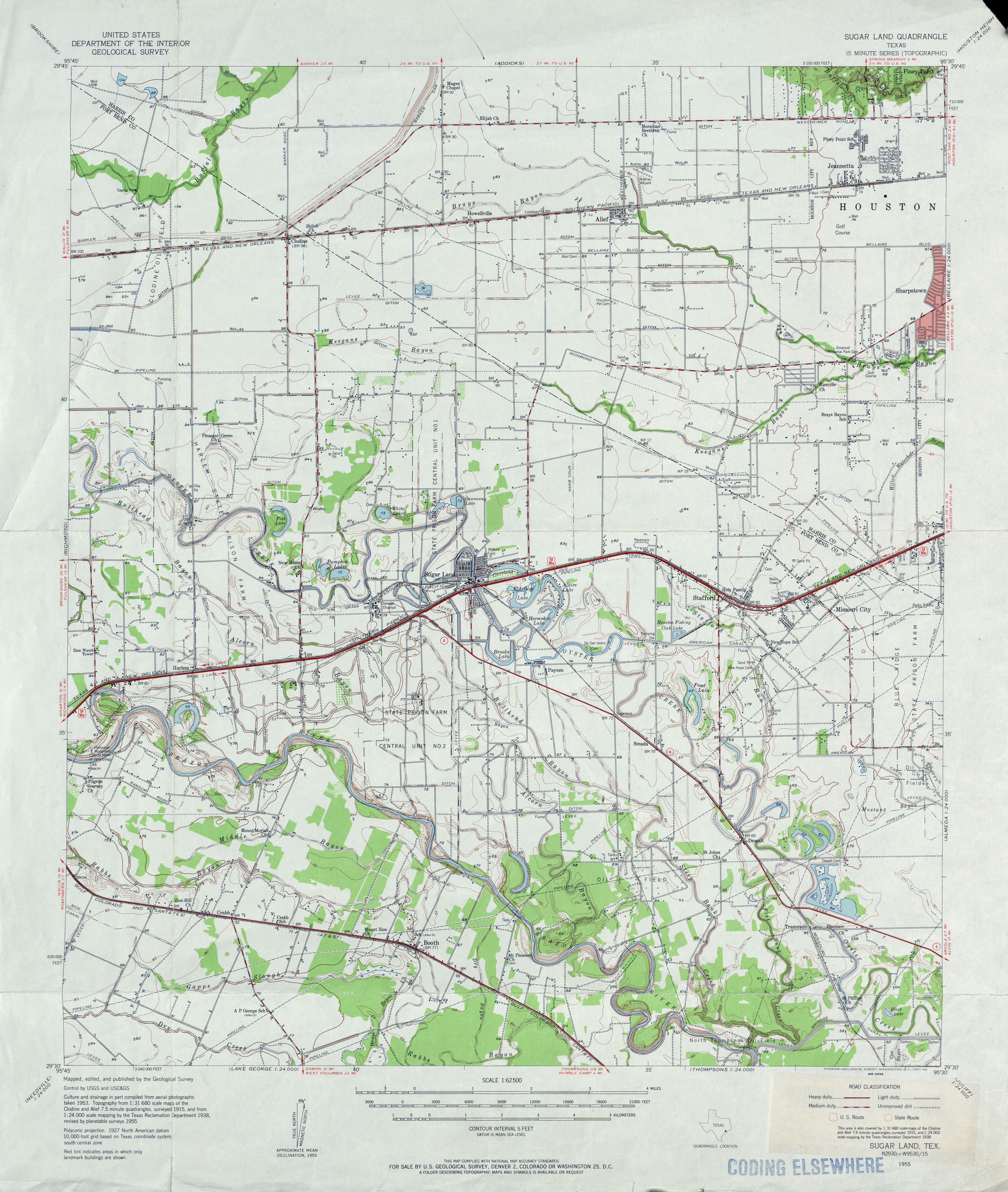
Oyster Creek (Texas) is a stream in Texas that rises at 29.6530°N 95.7624°W, north of Richmond in Fort Bend County.[1] Oyster creek is roughly parallel to, and just east of, the Brazos River. It originally flowed southeast 52 miles to the Gulf of Mexico in Brazoria County. Portions of the stream no longer follow their natural course[2] because in Missouri City the upper section has been partially channelized, ultimately connecting with the Brazos River via a short segment of Steep Bank Creek.[3] The lower section continues on its meandering path from about a mile southeast of Steep Bank Creek, draining into the Intracoastal Waterway near Surfside Beach.
See also
- List of rivers of Texas
- "An Analysis of Texas Waterways". Retrieved 2006-05-04.
- "OYSTER CREEK (FORT BEND COUNTY)". Handbook of Texas Online, Texas State Historical Assn. Retrieved March 3, 2013.
Gallery
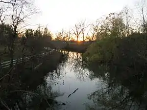 Oyster Creek at Lochridge near Rosharon
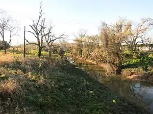 Oyster Creek at the FM 290 bridge in Snipe
References
- ""Feature Detail Report for: Oyster Creek"". USGS Geographic Names Information Service.
- "USGS Sugar Land, Tex Quadrangle 1955". Retrieved April 29, 2016.
- "Watershed Map, Missouri City GIS System". Retrieved April 26, 2016.
This article is issued from Wikipedia. The text is licensed under Creative Commons - Attribution - Sharealike. Additional terms may apply for the media files.