Pacūnai
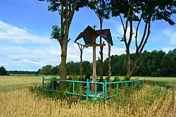
Pacūnai (Pociūnai, formerly Russian: Пацуны, Polish: Pacuny)[1] is a village in Kėdainiai district municipality, in Kaunas County, in central Lithuania. According to the 2011 census, the village was uninhabited.[2] It is located 5 kilometres (3.1 mi) from Nociūnai, by the Mėkla and its tributary the Vilkupis, nearby the Labūnava Forest. There is a memorial cross for the exiled ones.
Pacūnai | |
|---|---|
Village | |
 | |
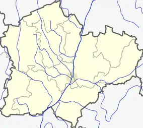 Pacūnai Location in Lithuania 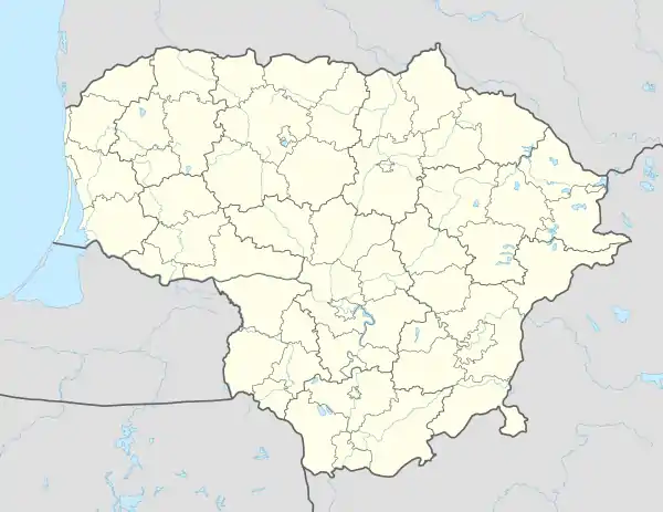 Pacūnai Pacūnai (Lithuania) | |
| Coordinates: 55°11′20″N 23°59′30″E | |
| Country | |
| County | |
| Municipality | Kėdainiai district municipality |
| Eldership | Pelėdnagiai Eldership |
| Population (2011) | |
| • Total | 0 |
| Time zone | UTC+2 (EET) |
| • Summer (DST) | UTC+3 (EEST) |
In the beginning of the 20th century there were two Pacūnai okolicas in Babtai volost. They was a property of the Jogintavičiai, Kalvaičiai, Marcinkevičiai, Jurevičiai families.[1]
Demography
|
| ||||||||||||||||||||||||||||||
| Source: 1902, 1923, 1959 & 1970, 1979, 1989, 2001, 2011 | |||||||||||||||||||||||||||||||
References
- "Pacuny". Geographical Dictionary of the Kingdom of Poland (in Polish). 15 pt. 2. Warszawa: Kasa im. Józefa Mianowskiego. 1902. p. 429.
- "2011 census". Statistikos Departamentas (Lithuania). Retrieved August 21, 2017.
This article is issued from Wikipedia. The text is licensed under Creative Commons - Attribution - Sharealike. Additional terms may apply for the media files.