Pagee River
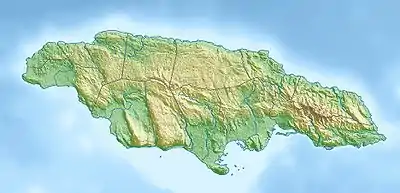
The Pagee River rises on the south eastern flank of Berry Hill (a 1,655 ft (504 m) summit) just below the 1,000 ft (300 m) contour at 18.29488°N 76.92817°W near Crawle Pen in Saint Mary.[1] It reaches the sea 14 miles (23 km) later at Pagee Beach (18.36845°N 76.87935°W) also in Saint Mary.[1][2]
| Pagee River | |
|---|---|
| Location | |
| Country | Jamaica |
| Location | Saint Mary |
| Physical characteristics | |
| Source | |
| • coordinates | 18.29488°N 76.92817°W |
| • elevation | 970 ft (300 m) |
| Mouth | |
• coordinates | 18.36845°N 76.87935°W |
• elevation | Sea level |
| Length | 14 mi (23 km) |
| Basin size | Pagee |
| Basin features | |
| Tributaries | |
| • left | From head to source:[1] 03. Unnamed River 04. White River 06. Unnamed River 07. Llanrumney River 09. Unnamed River |
| • right | From head to source:[1] 01. Frenchmans River 02. Broughtons River 05. Unnamed River 08. Slippery River 10. Unnamed River 11. Unnamed River 12. Joyees Gully |
Mouth of the Pagee River
References
- UK Directorate of Overseas Surveys 1:50,000 map of Jamaica sheet K, 1966.
- "Pagee Beach". Wikimapia. Retrieved 13 December 2012.
This article is issued from Wikipedia. The text is licensed under Creative Commons - Attribution - Sharealike. Additional terms may apply for the media files.
