Panguitch Lake
Panguitch Lake (/ˈpæŋɡwɪtʃ/) was originally a large natural lake (777 acres) that has now been expanded by the creation of a 24-foot (7 m) dam to become a reservoir with a maximum surface area of 1,248 acres (5 km2). The lake, which drains into the Sevier River is located on the Markagunt Plateau, between Panguitch, Utah and Cedar Breaks National Monument. The lake is located in the Dixie National Forest in a high tourist use area near three national parks and one national monument.
| Panguitch Lake | |
|---|---|
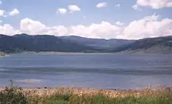 Shore of Panguitch Lake, looking northwest | |
 Panguitch Lake  Panguitch Lake | |
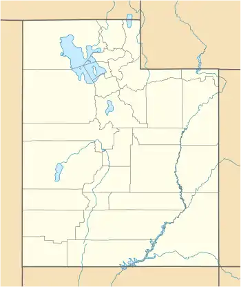
| Location | Garfield County, Utah, United States |
| Coordinates | 37°42′55″N 112°38′33″W |
| Type | natural lake, reservoir |
| Basin countries | United States |
| Surface area | 1,248 acres (5 km2) |
Panguitch Lake contains several campgrounds. Convenience stores and an LDS chapel are within walking distance of the campgrounds, and the roads are well paved and maintained. Road access to the lake is provided by Utah State Route 143, also known as the Brian Head-Panguitch Lake Scenic Byway or Utah's Patchwork Parkway.
The earliest known use of Panguitch Lake was as a fishery by Paiute Indians (Panguitch means "big fish" in the Paiute language). Panguitch Lake was treated with rotenone beginning May 1, 2006 to potentially eradicate and control the invasive population of Utah chub, which were probably introduced accidentally by anglers who used them as live bait. The lake was restocked with 20,000 rainbow trout in 2006; as of 2016, the lake's fish population has recovered.
External links
| Wikimedia Commons has media related to Panguitch Lake. |
- Panguitch Lake at the Utah Division of Wildlife Resources
- Panguitch Lake at GO-UTAH.com
- "Report on Panguitch Lake" (PDF). (258 KiB) by the Utah Division of Water Quality
- Bryce Canyon Country - Panguitch Lake
| Authority control |
|
|---|
