Patansavangi
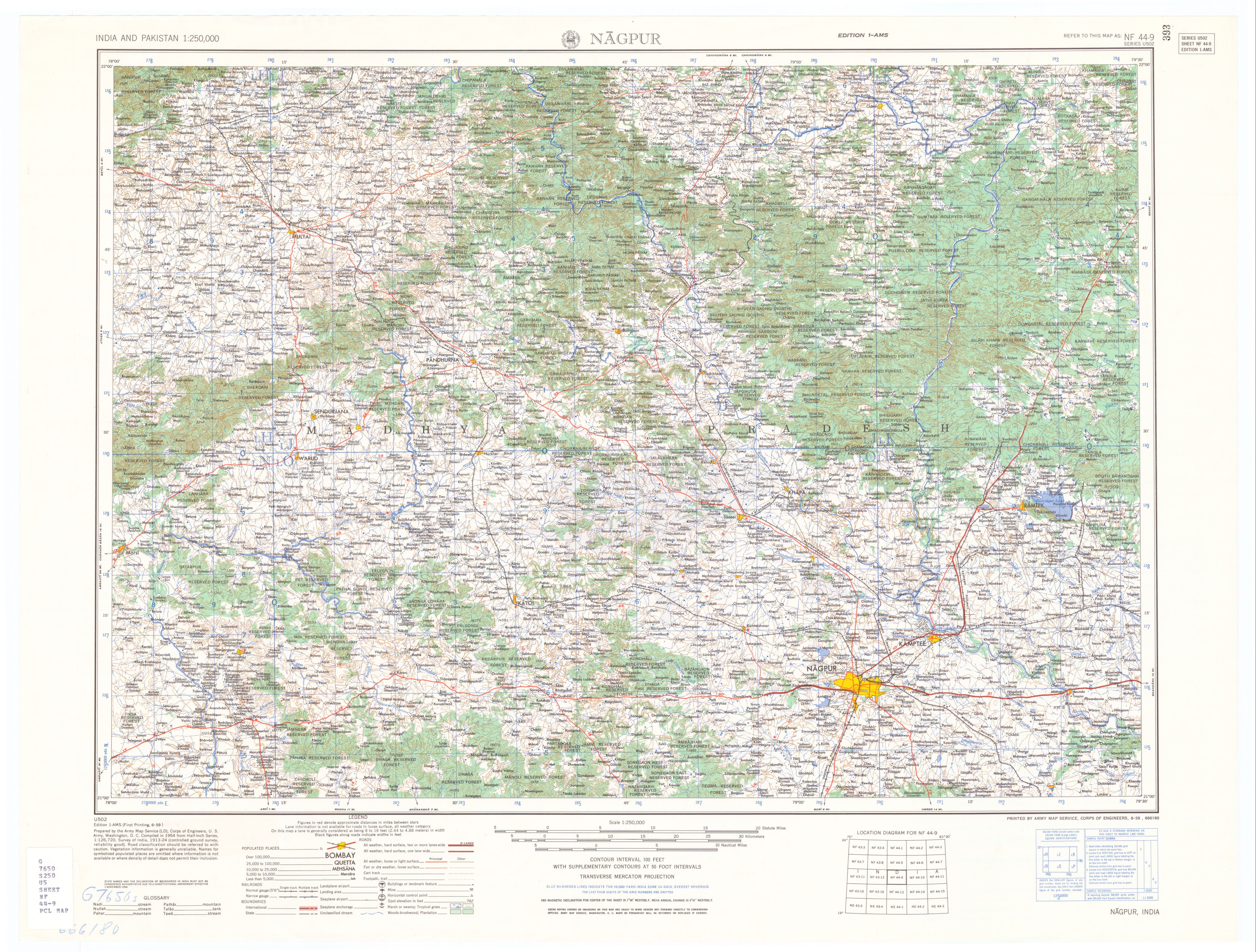
Patansavangi (Patansaongi,[1] Patansawagi) is a panchayat village[2] in Maharashtra State, India.[3][4] Administratively, Patansavangi is under the Saoner Taluk of Nagpur District in Maharashtra,[4] although earlier (1908) it had been part of the larger Ramtek taluka.[5] It lies on the left (east) bank of the Kolar River, just upstream from its confluence with the Chandrabhaga Nadi.[6] Patansavangi is 13 km by road southeast of the town of Saoner (Savner) and 25 km by road northwest of the town of Nagpur.
Patansavangi
पाटणसावंगी Patansaongi, Patansawagi | |
|---|---|
town | |
 Patansavangi Location in Maharashtra, India  Patansavangi Patansavangi (India) | |
| Coordinates: 21°19′38″N 079°01′19″E | |
| Country | |
| State | Maharashtra |
| District | Nagpur district |
| Taluka | Saoner |
| Languages | |
| • Official | Marathi |
| Time zone | UTC+5:30 (IST) |
| PIN | 441113 |
There are three villages in the Patansawagi gram panchayat: Patansavangi, Bidkawadas and Kawadas.[4]
Patansavangi is the site of a Gondi fort dating from the 16th century.[7] In 1742 there was a massacre at the fort of Gondi people who resisted Raghoji I Bhonsle, with a death toll of up to 12,000.[8]
Notes
- Patansaongi (Approved) at GEOnet Names Server, United States National Geospatial-Intelligence Agency
- 2011 Village Panchayat Code = 182540, for Patansawagi Gram Panchayat "Reports of National Panchayat Directory: Village Panchayat Names of Saoner, Nagpur, Maharashtra". Ministry of Panchayati Raj, Government of India.
- 2001 Census Village code = 1030100, for Patansavangi village "2001 Census of India: List of Villages by Tehsil: Maharashtra" (PDF). Registrar General & Census Commissioner, India. p. 200. Archived (PDF) from the original on 13 November 2011.
- 2011 Census Village code = 535314, for Patansavangi village "Reports of National Panchayat Directory: List of Census Villages mapped for: Patansawagi Gram Panchayat, Saoner, Nagpur, Maharashtra". Registrar General & Census Commissioner, India.
- Central Provinces District Gazetteers, Volume 7, Nagpur District, Volume A, Descriptive. Bombay: Gazetteer Department, Government of Maharashtra. 1999. p. 326. revision of 1908 edition
- Nagpur (topographic map, 1:250,000), series U502, sheet NF 44-09, United States Army Map Service, June 1959
- Russell, R. V., ed. (1907). Central Provinces District Gazetteers: Chhindwara District, Volume A: Descriptive. Bombay, India: Times Press. p. 28.
- The Gazetteer of the Central Provinces of India. 1870. p. 303.