Peabody Bay
Peabody Bay (Danish: Peabody Bugt) is a large bay in northwestern Greenland. Administratively it is part of the Qaasuitsup municipality.[1]
| Peabody Bay | |
|---|---|
| Peabody Bugt | |
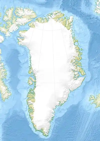
 Peabody Bay Location in Greenland | |
| Location | Arctic |
| Coordinates | 79°37′N 65°10′W |
| Ocean/sea sources | Kane Basin |
| Basin countries | Greenland |
Geography
Peabody Bay is located on the eastern side of the Kane Basin off the western end of the Humboldt Glacier. Cape Forbes and the Cass Fjord lie at the northern end of the roughly 80 km wide bay. The McGary Islands lie at the southern end of the bay[2] and the Bonsall Islands lie between that end and Dallas Bay to the SW.[3]
Elisha Kane —whose Arctic venture in search of the lost Franklin expedition crossed the area in 1854— had named the Kane Basin itself "Peabody Bay," in honor of philanthropist George Peabody, the major funder of Kane's expedition.[4] Currently, however, Peabody Bay is this smaller bay at the eastern side of the basin.
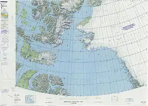
 Map of Northwestern Greenland |
See also
References
- 1:1,000,000 scale Operational Navigation Chart, Sheet B-8, 3rd edition
- McGary Oer, Greenland
- Prostar Sailing Directions 2005 Greenland and Iceland Enroute, p. 88
- "KANE, ELISHA KENT". University of Toronto. Retrieved 2010-03-28.
A believer in the hypothesis of an open polar sea, he persuaded Grinnell, American financier George Peabody, the United States Navy Department, and several scientific societies to sponsor a second expedition to go north from Baffin Bay to the shores of the "Polar Sea" in search of Franklin. [...] The Advance then proceeded up the west coast of Greenland and into the sound Kane named Peabody Bay (later renamed Kane Basin) where, by the end of August, its northward progress was stopped by the ice.
