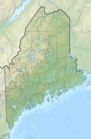
Peabody Pond
Peabody Pond extends from the southern tip of Bridgton into northern Sebago forming the western boundary of Naples, Maine. The eastern tip of the lake receives drainage from Cold Rain Pond in Naples. The southern tip of the lake overflows as the Northwest River through 5 miles (8.0 km) of boggy land to the western shore of Sebago Lake at East Sebago.[2] The pond has a native population of rainbow smelt, and has been stocked with smallmouth bass, lake trout, and land-locked Atlantic salmon. A boat-launching area near the outlet of the lake is accessible from Tiger Hill Road off Maine State Route 107.[4]
| Peabody Pond | |
|---|---|
 Peabody Pond  Peabody Pond | |
| Location | Maine |
| Coordinates | 43°57′N 70°41′W[1] |
| Lake type | Reservoir[1] |
| Primary outflows | Northwest River |
| Basin countries | United States |
| Max. length | 2 mi (3.2 km)[2] |
| Max. width | 1 mi (1.6 km)[2] |
| Surface area | 740 acres (300 ha)[3] |
| Max. depth | 64 feet (20 m)[4] |
| Water volume | 24,496 acre⋅ft (30,215,000 m3)[3] |
| Surface elevation | 479 ft (146 m)[1] |
| Islands | 2 (Loon Island, Seth Island) |
References
- U.S. Geological Survey Geographic Names Information System: Peabody Pond
- The Maine Atlas and Gazetteer (Thirteenth ed.). Freeport, Maine: DeLorme Mapping Company. 1988. p. 5. ISBN 0-89933-035-5.
- Maine Depts. of Environmental Protection and Inland Fisheries & Wildlife (2005-08-04). "Maine Lakes: Morphometry and Geographic Information". Senator George J. Mitchell Center for Environmental and Watershed Research, The University of Maine. Archived from the original on 2006-09-03. Retrieved 31 July 2008.
- "Peabody Pond" (PDF). Maine Department of Inland Fisheries and Wildlife. State of Maine. Retrieved 17 May 2016.
This article is issued from Wikipedia. The text is licensed under Creative Commons - Attribution - Sharealike. Additional terms may apply for the media files.