Pilanesberg International Airport
Pilanesberg International Airport (IATA: NTY, ICAO: FAPN) is an airport serving Sun City in the North West province of South Africa. It is located adjacent to the Pilanesberg Game Reserve.
Pilanesberg International Airport | |||||||||||
|---|---|---|---|---|---|---|---|---|---|---|---|
| Summary | |||||||||||
| Airport type | Public | ||||||||||
| Owner/Operator | North West Provincial Government (NWPG)[1] | ||||||||||
| Serves | Sun City, North West, South Africa | ||||||||||
| Elevation AMSL | 3,412 ft / 1,040 m | ||||||||||
| Coordinates | 25°20′01″S 027°10′24″E | ||||||||||
| Website | acsa | ||||||||||
| Map | |||||||||||
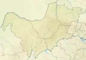 FAPN Location of airport in North West province Location of North West in South Africa 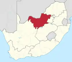 | |||||||||||
| Runways | |||||||||||
| |||||||||||
Facilities
The airport resides at an elevation of 3,412 feet (1,040 m) above mean sea level. It has one runway designated 05/23 with an asphalt surface measuring 2,750 by 30 metres (9,022 ft × 98 ft).[2]
Communication
The Communication Frequency for Pilanesberg International Airport is 118.40 MHz. Runway lights can be activated by making 3-7 clicks on 118.40 MHz.[5] The control tower can be contacted on +27 (0)14 55 22154.
Nearby airports
See also
References
- "ACSA hands Pilanesberg International Airport back to North West Province". Airports Company South Africa. 22 September 2011. Archived from the original on 29 May 2012. Retrieved 23 December 2011.
- "Aerodrome chart for FAPN – PILANESBERG INTL (SUN CITY)" (PDF). South African Civil Aviation Authority. 8 July 2004. Archived from the original (PDF) on 3 December 2008.
- Airport information for FAPN from DAFIF (effective October 2006)
- Airport information for NTY at Great Circle Mapper. Source: DAFIF (effective October 2006).
- AVIMAP Frequency Chart September 2011, AVIMAP Frequency Chart link retrieved 23 December 2011
External links
- Pilanesberg International Airport at Airports Company South Africa
- Private website about Pilanesberg International Airport
- Aeronautical chart and airport information for FAPN at SkyVector
- Current weather for FAPN at NOAA/NWS
- Accident history for NTY at Aviation Safety Network
This article is issued from Wikipedia. The text is licensed under Creative Commons - Attribution - Sharealike. Additional terms may apply for the media files.