Planjava
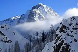
Planjava (2,394 meters or 7,854 feet) is the highest mountain of the eastern Kamnik Alps in northern Slovenia. On the western side there is a steep wall over the Kamniško sedlo pass, on the eastern side runs a long ridge and on the northern side there is an almost 1,000-meter (3,300 ft) high wall above the Logar Valley.
| Planjava | |
|---|---|
 Planjava | |
| Highest point | |
| Elevation | 2,394 m (7,854 ft) |
| Prominence | 530 m (1,740 ft) [1] |
| Coordinates | 46°21′23.51″N 14°36′36.02″E |
| Geography | |
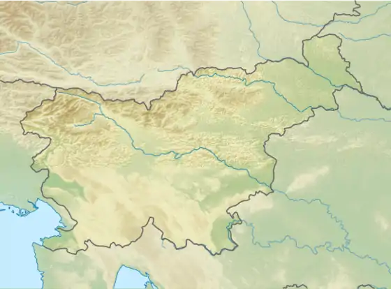
 Planjava Location in Slovenia | |
| Location | Slovenia |
| Parent range | Kamnik–Savinja Alps |
History of climbing
The first recorded climb was by Franz Hohenwart in 1793 with local a from Kamniška Bistrica although it is speculated that there were local hunters who climbed the mountain before them. Planjava is now one of the most visited peaks in Slovenia.
Routes
- 2 hrs from the Kamnik Saddle Lodge
- 1½ hrs from the Kocbek Lodge at Korošica
- 2½ hrs from the Kocbek Lodge at Korošica above Lučka Baba
- 5¼ hrs from the Klemenšek Cave Lodge at Ojstrica
Climbing routes
Southeastern wall
- Memorial route Štefana Kukovca (VI/V, 350 meters or 1,150 feet)
- Route Humar - Škarja (V-/IV, 270 meters or 890 feet)
- Route Sobotna smer (V+/IV+, 210 meters or 690 feet)
Western wall
- Route Steber Planjave - smer X (IV, 400 meters or 1,300 feet)
- Route Svetelova (IV/III, 170 meters or 560 feet)
- Route Smer skozi rov in okno (IV/III-II, 300 meters or 980 feet)
- Route Kratkohlača (V-/IV, 310 meters or 1,020 feet)
Northern wall
- Route Gradišnik - Ogrin (V-/IV, 700 meters or 2,300 feet)
- Route Dular - Juvan v Glavi (VII, 200 meters or 660 feet)
References
- "Planjava - peakbagger". peakbagger.com. Retrieved 17 February 2015.
This article is issued from Wikipedia. The text is licensed under Creative Commons - Attribution - Sharealike. Additional terms may apply for the media files.

