Ponta Leste
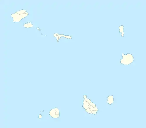
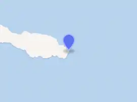
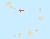
Ponta Leste (also: Ponta Calheta) is the easternmost point of the island of São Nicolau, Cape Verde.[1] It is 8 km east of Carriçal and 30 km east of Ribeira Brava. The point was mentioned in a map in a 1747 atlas collection by Jacques-Nicolas Bellin as "Oost-Hoek" (Dutch), "Pointe de l'Est" (French").[2] It was sometimes known as East Point in English.
| Ponta Leste | |
|---|---|
 | |
| Location | Eastern São Nicolau, Cape Verde near Carriçal |
| Coordinates | 16°34′12″N 24°00′29″W |
| Offshore water bodies | Atlantic Ocean |
Lighthouse
 Cape Verde | |
| |
| Location | Ponta Leste São Nicolau Cape Verde |
|---|---|
| Coordinates | 16°34′9″N 24°0′37″W |
| Foundation | concrete base |
| Tower shape | white column with red lantern[3] |
| Tower height | 3 metres (9.8 ft)[3] |
| Focal height | 73 metres (240 ft)[3] |
| Light source | solar power |
| Range | 11 nautical miles (20 km; 13 mi)[3] |
| Characteristic | Fl (4) W 10s.[3] |
| Admiralty number | D2930 |
| NGA number | 24144 |
| Cape Verde number | PT-2050[4] |
There is a lighthouse on the headland, focal height 73 metres, range 11 nautical miles (20 km; 13 mi).[3]
References
- Cabo Verde, Statistical Yearbook 2015, Instituto Nacional de Estatística, p. 26
- Jacques-Nicolas Bellin (1747). "Carte des Isles du Cap Verd = Kaart van de Eilanden van Kabo Verde" (in French).
- List of Lights, Pub. 113: The West Coasts of Europe and Africa, the Mediterranean Sea, Black Sea and Azovskoye More (Sea of Azov) (PDF). List of Lights. United States National Geospatial-Intelligence Agency. 2018. p. 426.
- Rowlett, Russ. "Lighthouses of Cape Verde". The Lighthouse Directory. University of North Carolina at Chapel Hill.
The island of São Nicolau | ||||||
|---|---|---|---|---|---|---|
| Ribeira Brava |
|  | ||||
| Tarrafal de São Nicolau |
| |||||
| Mountains | ||||||
| Other topics | ||||||
This article is issued from Wikipedia. The text is licensed under Creative Commons - Attribution - Sharealike. Additional terms may apply for the media files.