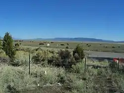
Pony Springs, Nevada
Pony Springs is an unincorporated community in Lincoln County, Nevada, United States. Pony Springs is located along U.S. Route 93.
Pony Springs, Nevada | |
|---|---|
 | |
 Pony Springs  Pony Springs | |
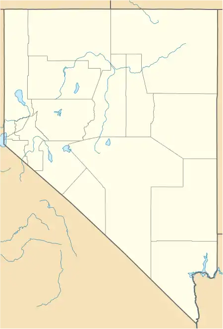
| Coordinates: 38°19′08″N 114°36′24″W[1] | |
| Country | United States |
| State | Nevada |
| County | Lincoln |
| Elevation | 6,155 ft (1,876 m) |
| Time zone | UTC-8 (Pacific (PST)) |
| • Summer (DST) | UTC-7 (PDT) |
| GNIS feature ID | 856109 |
Pony Springs was a watering hole for early ranchers.[2]
Pony Springs is the site of a roadside rest area.[3]
This location is in Lincoln County and was not a stop on the Pony Express. See Pony Springs in White Pine County[4] which was also known as a Butte and was a stop on the Overland Trail and later the Pony Express.[5]
References
- U.S. Geological Survey Geographic Names Information System: Pony Springs
- Wilkerson, Lyn (2010). Slow Travels - California and Nevada. p. 273. ISBN 9780557607648. Retrieved June 4, 2020.
- Velotta, Richard N. "First US 95 electric car charging station opens in Beatty". Las Vegas Review-Journal. Retrieved June 4, 2020.
- U.S. Geological Survey Geographic Names Information System: Pony Springs (White Pine County)
- Petersen, Jesse G. (2008). "Pleasant Valley to Roberts Creek". Route for the Overland Stage: James H. Simpson's 1859 Trail Across the Great Basin. University Press of Colorado. pp. 38–63. ISBN 9780874216936. JSTOR j.ctt4cgqjd.8.
Municipalities and communities of Lincoln County, Nevada, United States | ||
|---|---|---|
| City | 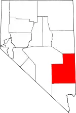 Lincoln County map | |
| CDPs | ||
| Other unincorporated communities | ||
| Ghost towns | ||
| Proposed communities | ||
| Footnotes | ‡This populated place also has portions in an adjacent county or counties | |
| ||
This article is issued from Wikipedia. The text is licensed under Creative Commons - Attribution - Sharealike. Additional terms may apply for the media files.