Puerto Barrios Airport
Puerto Barrios Airport (Spanish: Aeropuerto de Puerto Barrios, IATA: PBR, ICAO: MGPB), formerly Izabal Air Base (Base Aérea de Izabal), serves the city of Puerto Barrios, the port of Santo Tomás de Castilla and the Guatemalan Caribbean. It is operated and administrated by Dirección General de Aeronáutica Civil (DGAC).
Puerto Barrios Airport | |||||||||||
|---|---|---|---|---|---|---|---|---|---|---|---|
| Summary | |||||||||||
| Airport type | Military/Public | ||||||||||
| Operator | DGAC | ||||||||||
| Serves | Puerto Barrios, Guatemala | ||||||||||
| Elevation AMSL | 33 ft / 10 m | ||||||||||
| Coordinates | 15°43′50″N 88°35′00″W | ||||||||||
| Map | |||||||||||
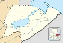 PBR Location in Izabal Department 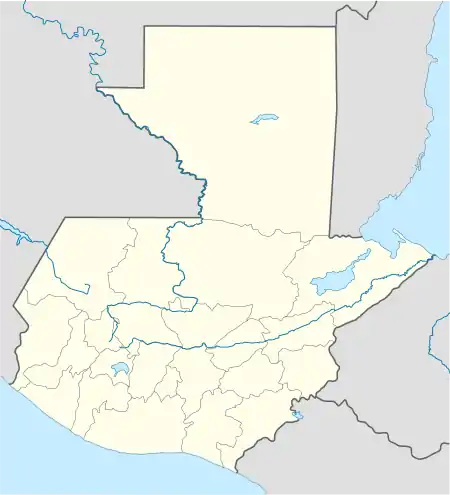 PBR Location in Guatemala | |||||||||||
| Runways | |||||||||||
| |||||||||||
History
Puerto Barrios Airport is located in the northern part of the city of Puerto Barrios, near the shore of Amatique Bay.
The airport is currently undergoing refurbishment, as part of a nationwide airport rehabilitation program. In the 1920s and 30s Puerto Barrios was a seaplane destination only; a first concrete runway was built by the United States Government during World War II for strategic reasons.[3] It was later used by the Guatemalan Air Force, known under the name "Base Aérea de Izabal". In 2002 the airport was equipped with a VOR-DME with the help of COCESNA, the Central American Corporation for Air Navigation.[4] Being located near the port of Santo Tomás de Castilla, today the airport is of special interest for cruise ship operators, who carry passengers to important attractions throughout the country on chartered flights. Puerto Barrios has always been a logistics center, which is emphasized in the city seal, which depicts a ship, a train, an airplane, and a truck.
As of January 2017, the airport is undergoing renovations. The DGCA is investing 1.5 million Guatemalan quetzals into the project, which it expects to complete by 28 March.[5]
Aviation in Puerto Barrios
Past
- In 1925 SCADTA of Colombia made a historical journey with two Dornier Wal flyboats from Barranquilla to Palm Beach stopping in Panama, Costa Rica, Nicaragua, El Salvador, Puerto San José, Amatitlán, Puerto Barrios, Cozumel, Havana and Miami.
- In 1928 a Curtiss Falcon supported by the Colombian government, called "Ricaurte" flew from New York City to Bogotá, stopping in Jacksonville, Havana, Puerto Barrios, Puerto Cabezas, Colón, Cartagena and Barranquilla. The plane suffered a mechanical failure in PBR, which made the plane rest here for several days.[6]
- In the 1930s, Pan American World Airways had scheduled flights from Miami to San Salvador stopping in Havana, Cozumel, Mérida, Belize and Puerto Barrios, using Sikorsky 40 flying boats.[7]
After World War II
- In the 1950s and 60s, Aviateca, the former national airline, connected PBR with other destinations in Guatemala.
- Inter Regional, a regional subsidiary of Grupo TACA in Guatemala, offered scheduled flights to Guatemala City from 1999, using Cessna Grand Caravan aircraft.[8] There were up to two daily flights (TA 1911, TA 1920, 1923). Two times a week there was a scheduled stop at Rio Dulce airstrip on the incoming flight. Flying time to Guatemala City was scheduled with 1 hour, 05 minutes. There were also flights from Mundo Maya International Airport to San Pedro Sula stopping in PBR. All scheduled flights were suspended in 2002 due to lack of demand.[9]
Air service
| Airlines | Destinations |
|---|---|
| TAG | Guatemala City |
Incidents
- 24 May 1956: A Douglas C-47 on a scheduled Aviateca flight crashed at Panzós after leaving PBR. 30 occupants were killed.[10]
- 15 November 1960: A Beechcraft AT-11 of the Guatemalan Air Force made a belly landing after a mechanical failure on a night flight.[11]
- 28 April 2007: A Cessna 210 (TG-MAP) crashes on a private flight between Puerto Barrios and San Pedro Sula, killing the pilot.[12]
References
- Airport information for Puerto Barrios Airport at World Aero Data. Data current as of October 2006.
- Google Maps - Puerto Barrios
- Amandala Belize
- SkyVector Aeronautical Charts - IOS VOR
- Ramos, Saira (24 January 2017). "Firman convenio para renovar el aeropuerto de Puerto Barrios, Izabal" [Agreement signed to renovate the Puerto Barrios airport in Izabal]. Publinews (in Spanish). Retrieved 5 February 2017.
- "Archived copy". Archived from the original on 2009-01-05. Retrieved 2007-10-18.CS1 maint: archived copy as title (link)
- La Prensa
- ASN
- "Jorge Palmieri".
- ASN Archived October 14, 2008, at the Wayback Machine