Rabča
Rabča (Hungarian: Rabcsa) is a large village and municipality in Námestovo District in the Žilina Region of northern Slovakia.
Rabča | |
|---|---|
Village | |
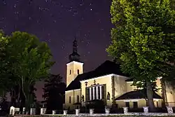 Church in the village | |
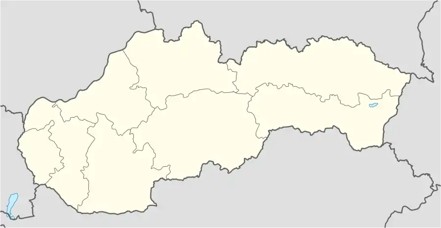 Rabča Location of Rabča within Slovakia | |
| Coordinates: 49°28′44″N 19°28′58″E | |
| Country | Slovakia |
| Region | Žilina |
| District | Námestovo |
| First mentioned | 1550 |
| Government | |
| • Mayor | Július Piták |
| Area | |
| • Total | 42.903 km2 (16.565 sq mi) |
| Elevation | 670 m (2,200 ft) |
| Population (2018-12-31[1]) | |
| • Total | 5,052 |
| • Density | 120/km2 (300/sq mi) |
| Time zone | UTC+1 (CET) |
| • Summer (DST) | UTC+2 (CEST) |
| Postal code | 029 44 |
| Area code(s) | 421-43 |
| Car plate | NO |
| Website | www.rabca.sk |
History
In historical records the village was first mentioned in 1564 as Rabcza.
Geography
The municipality lies at an altitude of 620–670 metres and covers an area of 25.157 km². It has a population of about 5,000 people.
References
- "Population and migration". Statistical Office of the Slovak Republic. Retrieved 2019-04-16.
Municipalities of Námestovo District | ||
|---|---|---|
This article is issued from Wikipedia. The text is licensed under Creative Commons - Attribution - Sharealike. Additional terms may apply for the media files.