Reiger Park
Reiger Park is a coloured township situated in Boksburg in the Ekurhuleni Metropolitan Municipality, Gauteng, South Africa. It was established as Stirtonville after the Second World War when people influxed from rural areas seeking work on the gold mines. In 1963, due to the apartheid government's policy of separate development, the black people were moved to Vosloorus, the Indians to Actonville and the coloured people were left to stay in Stirtonville, then renamed to Reiger Park.
Reiger Park | |
|---|---|
 Reiger Park  Reiger Park | |
| Coordinates: 26.231°S 28.216°E | |
| Country | South Africa |
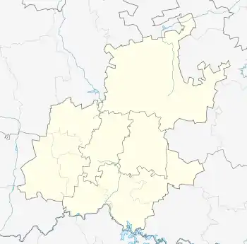
| Province | Gauteng |
| Municipality | Ekurhuleni |
| Area | |
| • Total | 3.46 km2 (1.34 sq mi) |
| Population (2011)[1] | |
| • Total | 39,345 |
| • Density | 11,000/km2 (29,000/sq mi) |
| Racial makeup (2011) | |
| • Black African | 51.7% |
| • Coloured | 46.6% |
| • Indian/Asian | 0.9% |
| • White | 0.3% |
| • Other | 0.5% |
| First languages (2011) | |
| • Afrikaans | 43.1% |
| • Xhosa | 13.4% |
| • Northern Sotho | 12.6% |
| • Sotho | 7.3% |
| • Other | 23.6% |
| Time zone | UTC+2 (SAST) |
The locals have given their own unofficial names to the different areas of Reiger Park, for example Jerusalem (due to the many churches in that area), Excuse Me (due to the houses so close together that when you sneeze, your neighbour says bless you) and Popcorn (a new area developed in the 1990s with the houses popping up so fast that they were likened to popcorn). In 1997, the Popcorn area experienced violent rent boycotts; in 2008, it was one of the sites of violence during the anti-immigrant riots, beating and burning émigrés on streets described as "war zones".
References
- "Sub Place Reiger Park". Census 2011.
Communities of Ekurhuleni, Gauteng | ||
|---|---|---|
Seat: Germiston | ||
| Places in Ekurhuleni | .svg.png.webp) Ekurhuleni within South Africa | |