Rishi Pahar
Rishi Pahar is a Himalayan mountain peak, located in the Pithoragarh district of Uttarakhand state in India. It lies at the northeast corner of the ring of peaks surrounding the Nanda Devi Sanctuary, and on the eastern rim of the Nanda Devi Biosphere Reserve, just south of Trishuli and Hardeol. The Milam Glacier lies on its east flank. It marks the triple divide between the Milam, Dunagiri, and Uttari Rishi Ganga valleys. Rishi Pahar means 'The Peak of Saint' in Hindi.
| Rishi Pahar | |
|---|---|
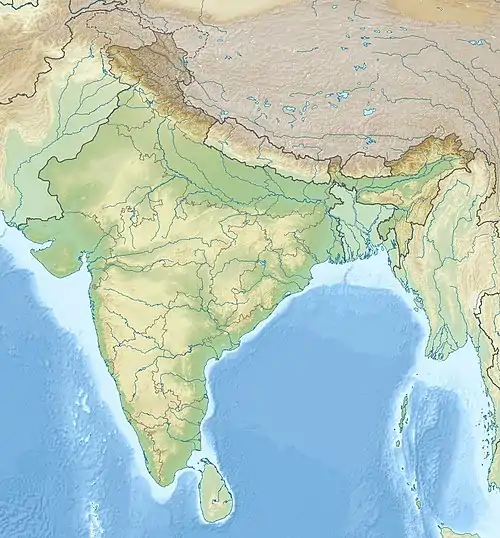 Rishi Pahar Location in northern India | |
| Highest point | |
| Elevation | 6,992 m (22,940 ft) |
| Prominence | 650 m (2,130 ft) [1] |
| Coordinates | 30°31′48″N 79°59′25″E |
| Geography | |
| Location | Pithoragarh, Uttarakhand, India |
| Parent range | Kumaon Himalaya |
| Climbing | |
| First ascent | 1975 |
| Easiest route | Western Ridge |
The first ascent to the summit of Rishi Pahar was made in 1975 via the west ridge.
References
- Garhwal-Himalaya-Ost, 1:150,000 scale topographic map, prepared in 1992 by Ernst Huber for the Swiss Foundation for Alpine Research, based on maps of the Survey of India.
- Nanda Devi by Eric Shipton
This article is issued from Wikipedia. The text is licensed under Creative Commons - Attribution - Sharealike. Additional terms may apply for the media files.