Rock Hill, Louisiana
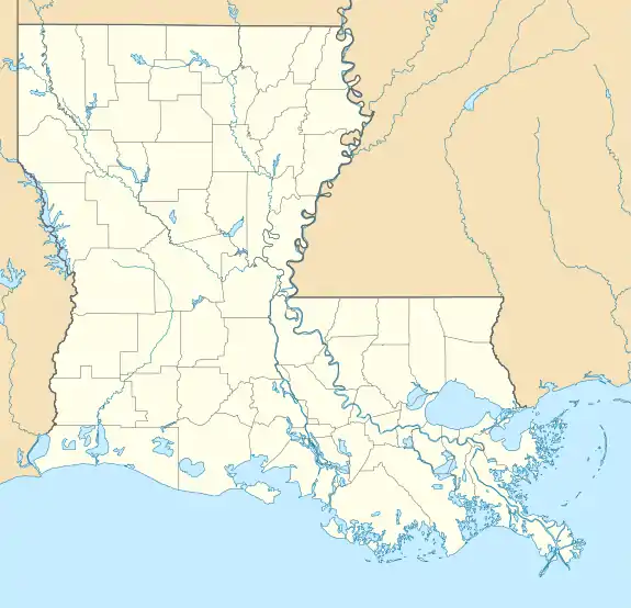
Rock Hill is an unincorporated community and census-designated place (CDP) in Grant Parish, Louisiana, United States. As of the 2010 census it had a population of 274.[1]
Rock Hill, Louisiana | |
|---|---|
 Rock Hill  Rock Hill | |
| Coordinates: 31°26′50″N 92°34′13″W | |
| Country | |
| State | |
| Parish | Grant |
| Area | |
| • Total | 3.86 sq mi (9.99 km2) |
| • Land | 3.85 sq mi (9.98 km2) |
| • Water | 0.004 sq mi (0.01 km2) |
| Elevation | 155 ft (47 m) |
| Population (2010) | |
| • Total | 274 |
| • Density | 71/sq mi (27.5/km2) |
| ZIP Code | 71423 |
Rock Hill is located in southwestern Grant Parish along U.S. Route 71, which leads northwest 10 miles (16 km) to Colfax, the parish seat, and southeast 17 miles (27 km) to Alexandria. According to the U.S. Census Bureau, the Rock Hill CDP has a total area of 3.9 square miles (10.0 km2), of which 0.004 square miles (0.01 km2), or 0.06%, is water.[1]
References
- "Geographic Identifiers: 2010 Demographic Profile Data (G001): Rock Hill CDP, Louisiana". American Factfinder. U.S. Census Bureau. Retrieved December 15, 2016.
Municipalities and communities of Grant Parish, Louisiana, United States | ||
|---|---|---|
| Towns | 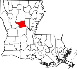 | |
| Villages | ||
| CDPs | ||
| Other unincorporated communities | ||
| Indian reservation | ||
| ||
This article is issued from Wikipedia. The text is licensed under Creative Commons - Attribution - Sharealike. Additional terms may apply for the media files.