Rocky Gully, Western Australia
Rocky Gully is a small town in the Great Southern region of Western Australia.
| Rocky Gully Western Australia | |
|---|---|
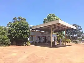 Rocky Gully General Store | |
 Rocky Gully | |
| Coordinates | 34°30′34″S 117°00′42″E |
| Population | 98 (2016 census)[1] |
| Established | 1951 |
| Postcode(s) | 6397 |
| Elevation | 243 m (797 ft) |
| Location |
|
| LGA(s) | Shire of Plantagenet |
| State electorate(s) | Blackwood-Stirling |
| Federal Division(s) | O'Connor |
The town is located along the Muirs Highway, about 8 kilometres (5 mi) from the Kent River.
A site was selected for a town when land in the area was sub-divided in the 1930s. By 1951 a small community was established as part of the War Service land settlement scheme and the townsite was gazetted.[2]
References
- Australian Bureau of Statistics (27 June 2017). "Rocky Gully(State Suburb)". 2016 Census QuickStats. Retrieved 31 January 2020.

- Western Australian Land Information Authority. "History of country town names – R". Retrieved 12 October 2008.
This article is issued from Wikipedia. The text is licensed under Creative Commons - Attribution - Sharealike. Additional terms may apply for the media files.