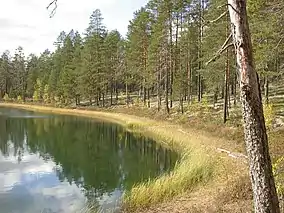
Rokua National Park
Rokua National Park (Finnish: Rokuan kansallispuisto) is a UNESCO global geopark in the Northern Ostrobothnia region of Finland.
| Rokua National Park | |
|---|---|
IUCN category II (national park) | |
 | |
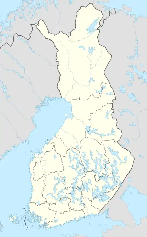 Location in Finland | |
| Location | Northern Ostrobothnia, Finland |
| Coordinates | 64°33′22″N 26°30′36″E |
| Area | 8.8 km2 (3.4 sq mi) |
| Established | 1956 |
| Visitors | 23500 (in 2009[1]) |
| Governing body | Metsähallitus |
| Website | www |
Location
The national park is located on the southern side of the Rokuanvaara Hill, where old pine forests grow in their natural state. The park lies within the municipalities of Vaala, Muhos and Utajärvi and in between the cities of Oulu and Kajaani.
Geology
The bedrock of the Baltic Shield as well as Quaternary landforms are displayed within the park. Amongst the glacial landforms found in the park are:[2]
- Drumlins
- Eskers
- Hummocky moraines
- Kettle holes
- Terminal moraines
Post-glacial development has left berms, ravines, dunes and peat bogs in the park area.[2]
Syvyydenkaivo
Syvyydenkaivo, "the Well of the Depths", is the deepest kettle hole in Finland,[3] with a measured depth of more than 164 feet (50 m).[4]
References
- "Käyntimäärät kansallispuistoittain 2009" (in Finnish). Metsähallitus. Retrieved September 29, 2010.
- "ROKUA UNESCO GLOBAL GEOPARK (Finland)". Unesco.org. 2017. Retrieved December 12, 2017.
- "Natural Features of Rokua National Park (Finland)". www.nationalparks.fi. 2018. Retrieved October 14, 2018.
- "Mires of Rokua National Park (Finland)". www.rokuageopark.fi. 2018. Retrieved October 14, 2018.
External links
 Media related to Rokua national park at Wikimedia Commons
- Rokua National Park
- Rokua Geopark
This article is issued from Wikipedia. The text is licensed under Creative Commons - Attribution - Sharealike. Additional terms may apply for the media files.