Roll, Oklahoma
Roll is a community located in Roger Mills County, Oklahoma, United States.[1] The community is on U.S. Highway 283 at the junction with State Highway 47. Cheyenne lies approximately 11 miles to the south along Route 283. The Canadian River is about six miles to the north.[2]
Roll | |
|---|---|
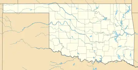 Roll Location within the state of Oklahoma  Roll Roll (the United States) | |
| Coordinates: 35°46′45″N 99°42′41″W | |
| Country | United States |
| State | Oklahoma |
| County | Roger Mills |
| Elevation | 2,270 ft (690 m) |
| Time zone | UTC-6 (Central (CST)) |
| • Summer (DST) | UTC-5 (CDT) |
Founded in old Day County, the post office was opened December 9, 1903. It closed August 31, 1920.
References
- U.S. Geological Survey Geographic Names Information System: Roll, Oklahoma
- Oklahoma Atlas & Gazetteer, DeLorme, 1st ed. 1998, p.28 and 38 ISBN 0899332838
- Shirk, George H. Oklahoma Place Names. Norman: University of Oklahoma Press, 1987. ISBN 0-8061-2028-2 .
External links
Municipalities and communities of Roger Mills County, Oklahoma, United States | ||
|---|---|---|
| Towns | 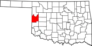 Roger Mills County map | |
| Unincorporated communities | ||
| Footnotes | ‡This populated place also has portions in an adjacent county or counties | |
| ||
This article is issued from Wikipedia. The text is licensed under Creative Commons - Attribution - Sharealike. Additional terms may apply for the media files.