Round Spinney
Round Spinney is a locality in the north-east of the English town of Northampton.
Round Spinney | |
|---|---|
Locality | |
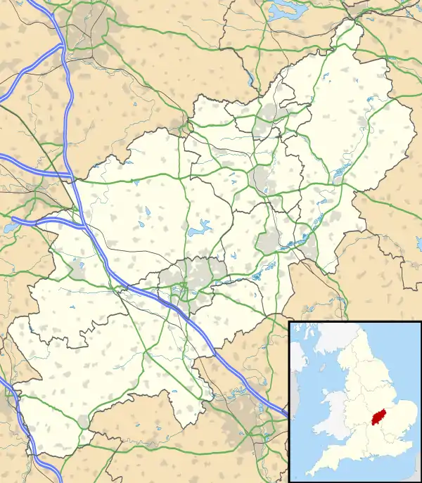 Round Spinney Map showing location of Round Spinney | |
| Coordinates: 52°16′35.13″N 0°50′44.10″W | |
| Sovereign state | United Kingdom |
| Country | England |
| County | Northamptonshire |
| Borough | Northampton |
| Area | |
| • Total | 0.28 sq mi (0.72 km2) |
| Elevation | 308 ft (94 m) |
Round Spinney is located east of the main A43 road which runs from Northampton to Kettering. It gives its name to an Industrial Estate and the nearby roundabout.
The population at the 2011 Census was included in the Talavera ward of Northampton Council.
External links
- Map sources for Round Spinney
The Borough of Northampton | |||||||||||
|---|---|---|---|---|---|---|---|---|---|---|---|
| Suburbs and villages | 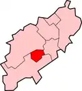 | ||||||||||
| Governance | |||||||||||
| Culture |
| ||||||||||
| Education | |||||||||||
| Sport |
| ||||||||||
| Transport | |||||||||||
| |||||||||||
This article is issued from Wikipedia. The text is licensed under Creative Commons - Attribution - Sharealike. Additional terms may apply for the media files.