Sainte-Agathe-de-Lotbinière
Sainte-Agathe-de-Lotbinière is a municipality in the Municipalité régionale de comté de Lotbinière in Quebec, Canada. Part of the Chaudière-Appalaches region, it had a population of 833 as of 2009.
Sainte-Agathe-de-Lotbinière | |
|---|---|
 From the air, 2019 | |
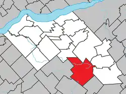 Location within Lotbinière RCM. | |
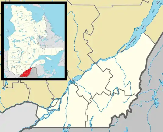 Sainte-Agathe-de-Lotbinière Location in southern Quebec. | |
| Coordinates: 46°23′N 71°25′W[1] | |
| Country | |
| Province | |
| Region | Chaudière-Appalaches |
| RCM | Lotbinière |
| Constituted | February 3, 1999 |
| Government | |
| • Mayor | Gilbert Breton |
| • Federal riding | Lotbinière— Chutes-de-la-Chaudière |
| • Prov. riding | Lotbinière-Frontenac |
| Area | |
| • Total | 166.70 km2 (64.36 sq mi) |
| • Land | 166.16 km2 (64.15 sq mi) |
| Population | |
| • Total | 1,145 |
| • Pop 2006-2011 | |
| • Dwellings | 494 |
| Time zone | UTC−5 (EST) |
| • Summer (DST) | UTC−4 (EDT) |
| Postal code(s) | G0S 2A0 |
| Area code(s) | 418 and 581 |
| Highways | |
| Website | www |
Although the new constitution dates from 1743, following the amalgamation of the village and parish of Sainte-Agathe, the territory was opened to colonizers in 1830. Sainte-Agathe-de-Lotbinière's early development was linked to the construction of the chemins Craig and Gosford in the mid-19th century.
It is named after Agatha of Sicily, who died as a martyr in 251.
References
External links
- Commission de toponymie du Québec
- Ministère des Affaires municipales, des Régions et de l'Occupation du territoire
Places adjacent to Sainte-Agathe-de-Lotbinière | ||||||||||
|---|---|---|---|---|---|---|---|---|---|---|
| ||||||||||
| Municipalities | |
|---|---|
| Parishes | |
| Villages | |
| |
This article is issued from Wikipedia. The text is licensed under Creative Commons - Attribution - Sharealike. Additional terms may apply for the media files.